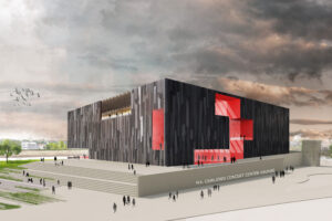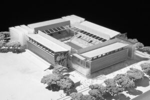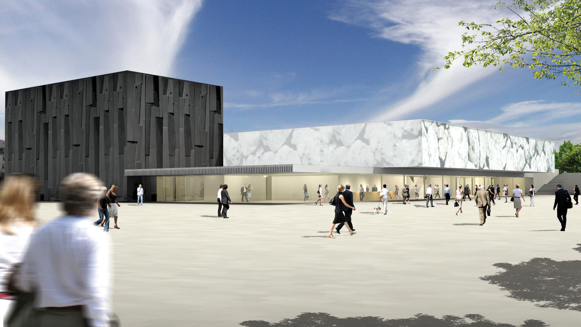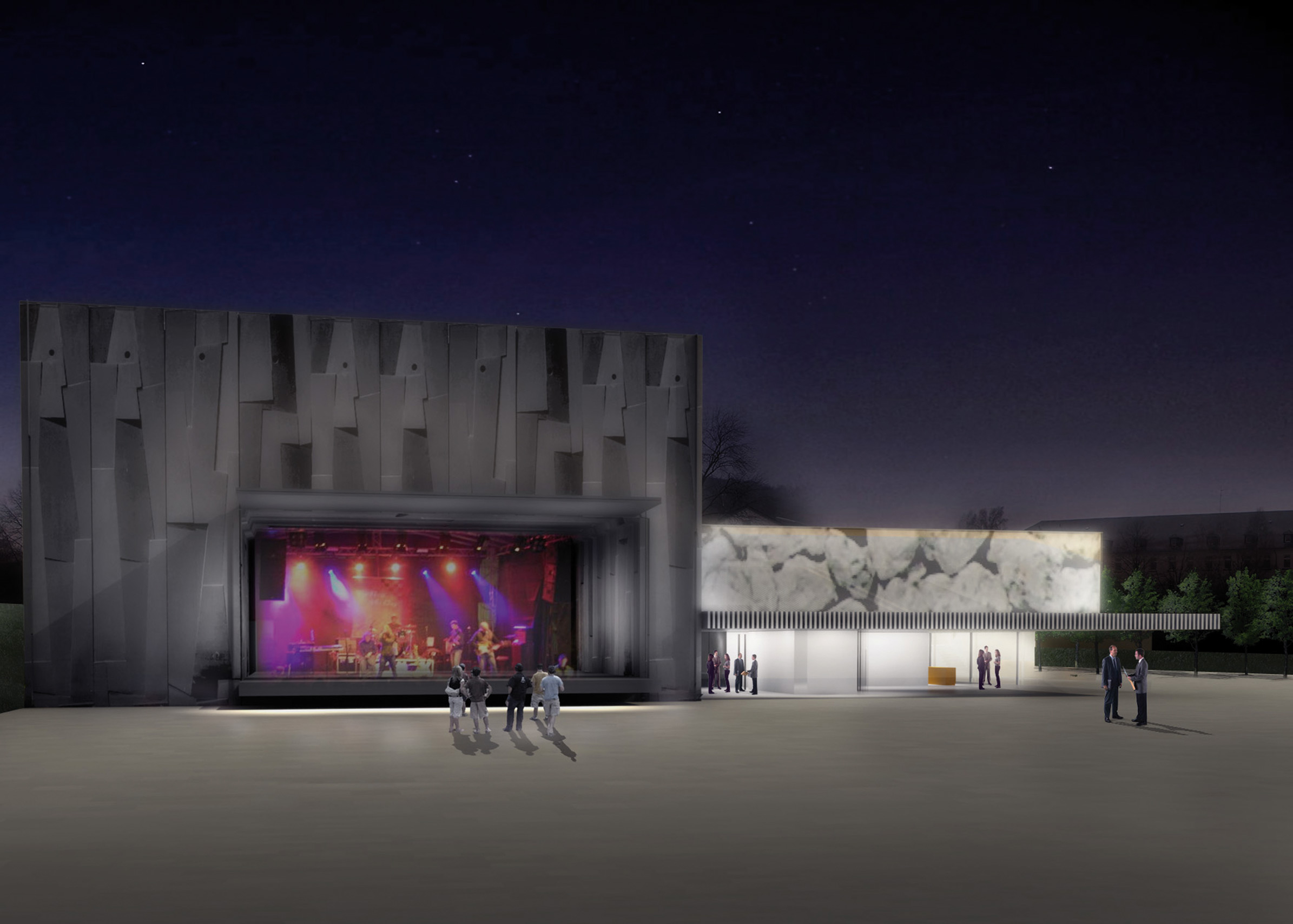
Competition DFB Soccer Museum
Dortmund
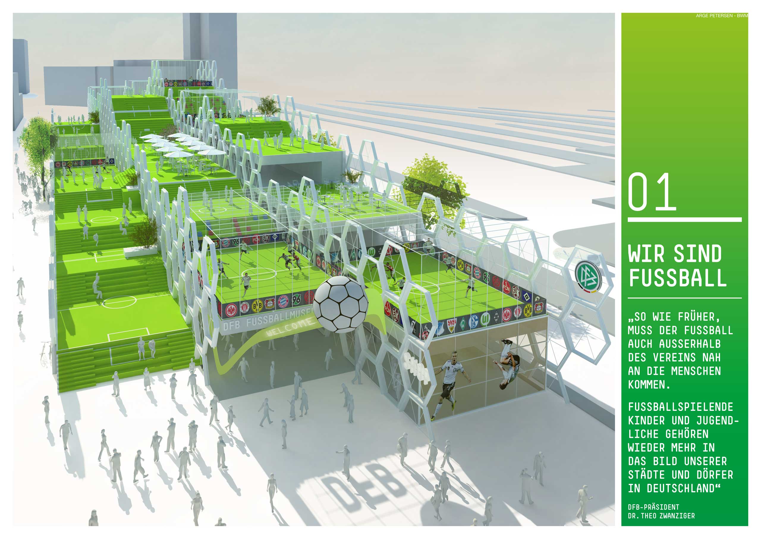
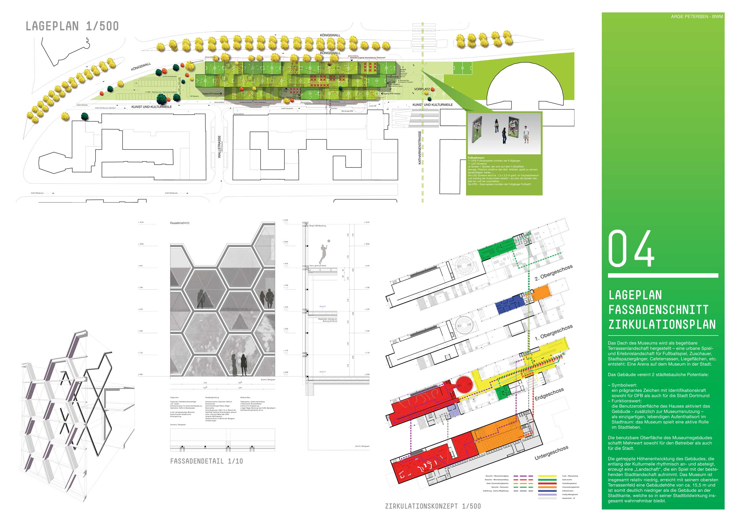
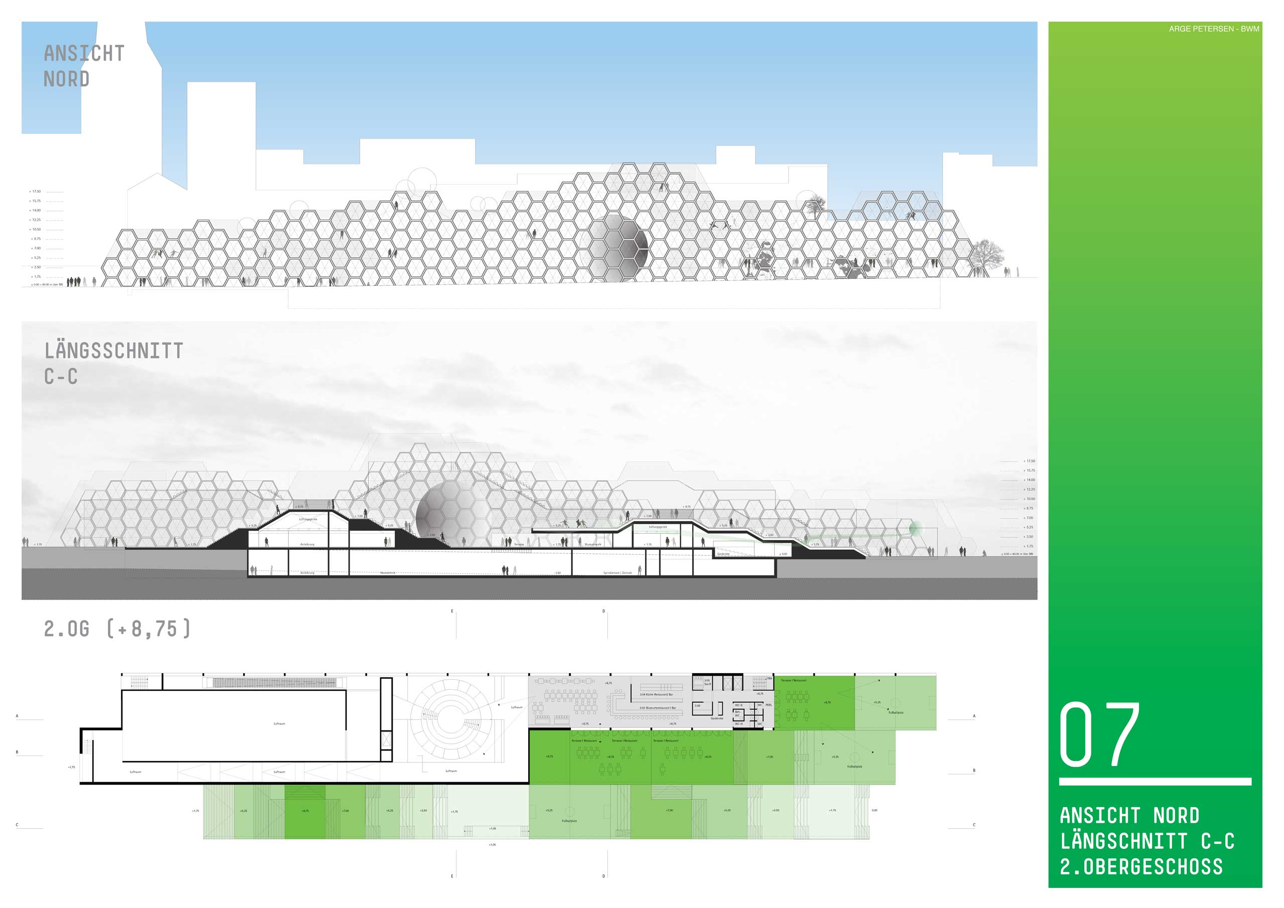
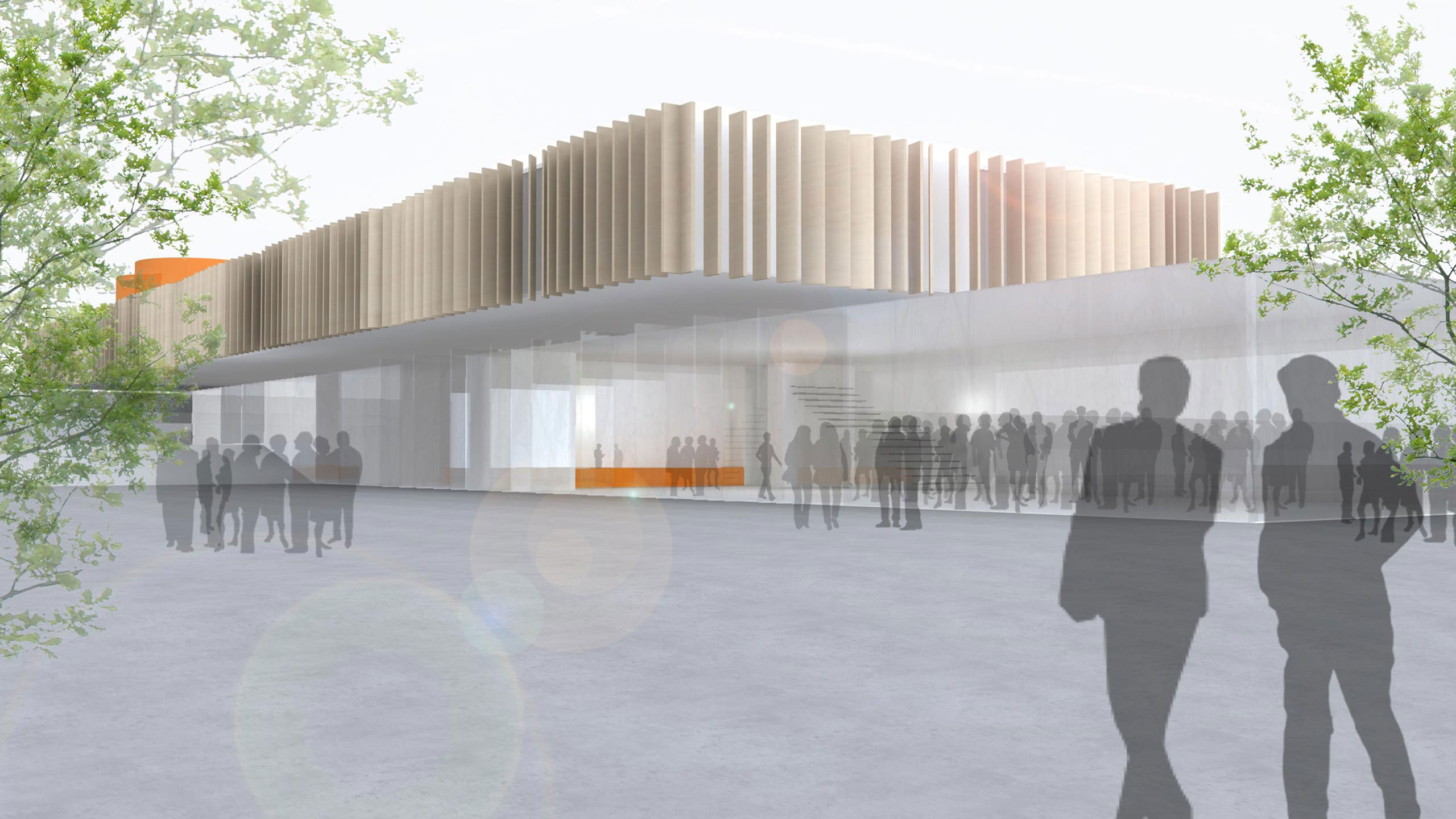
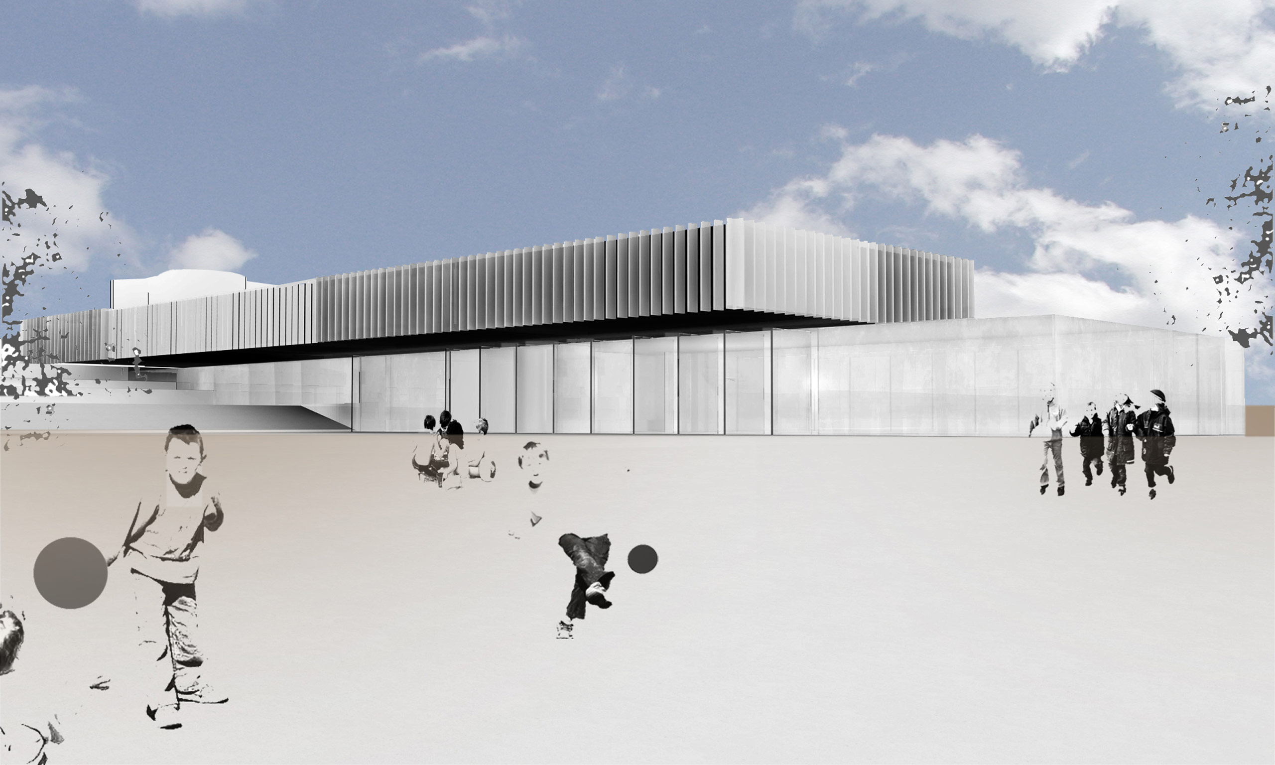
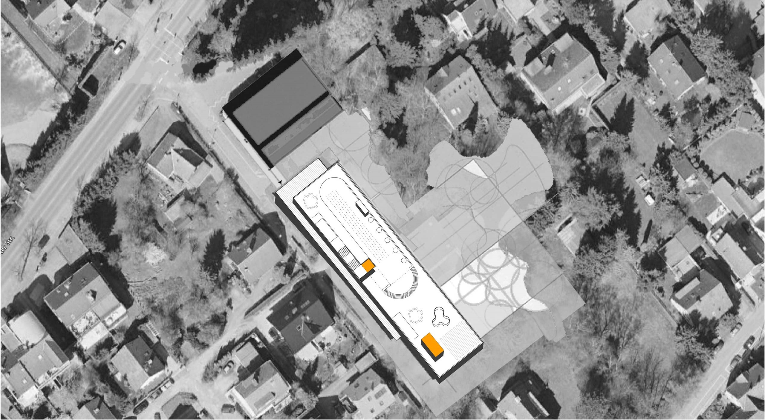
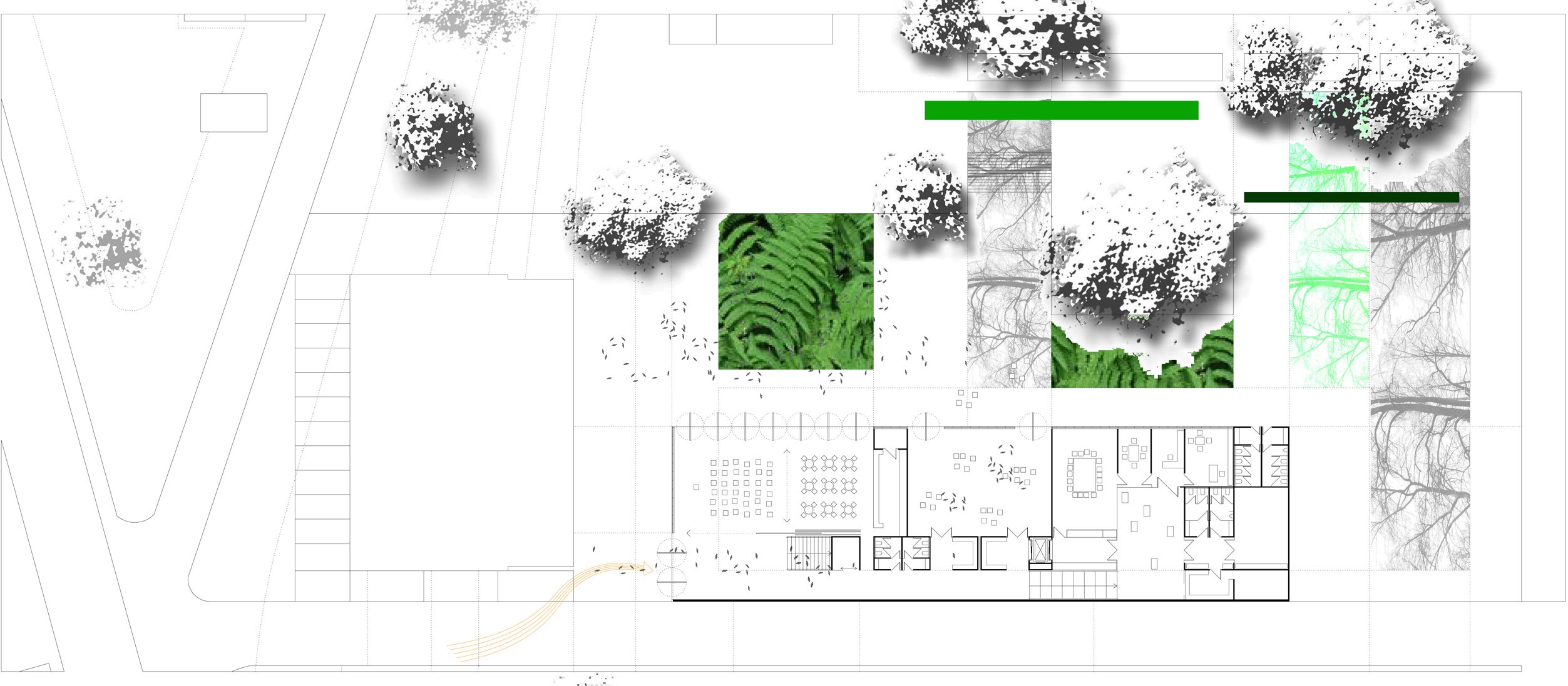
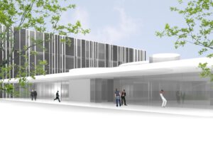
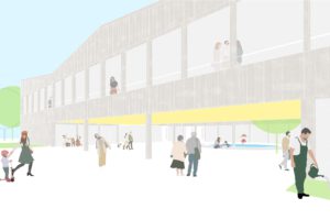
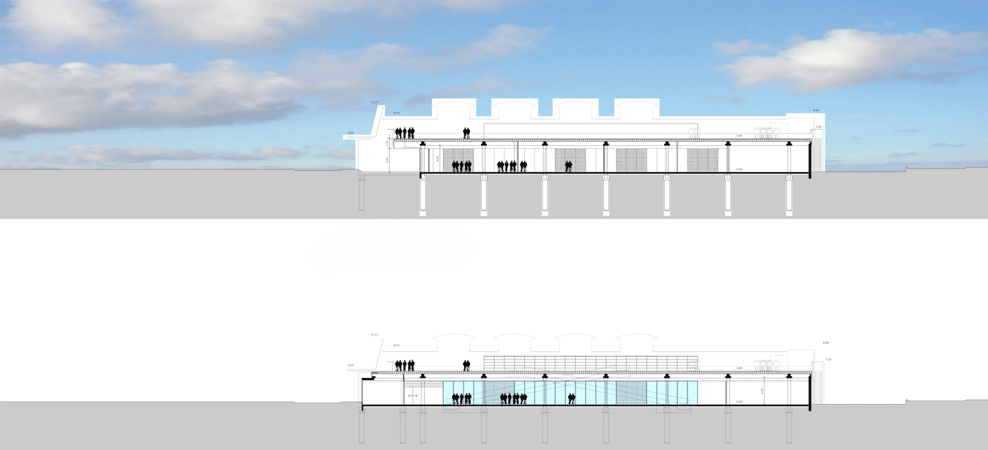
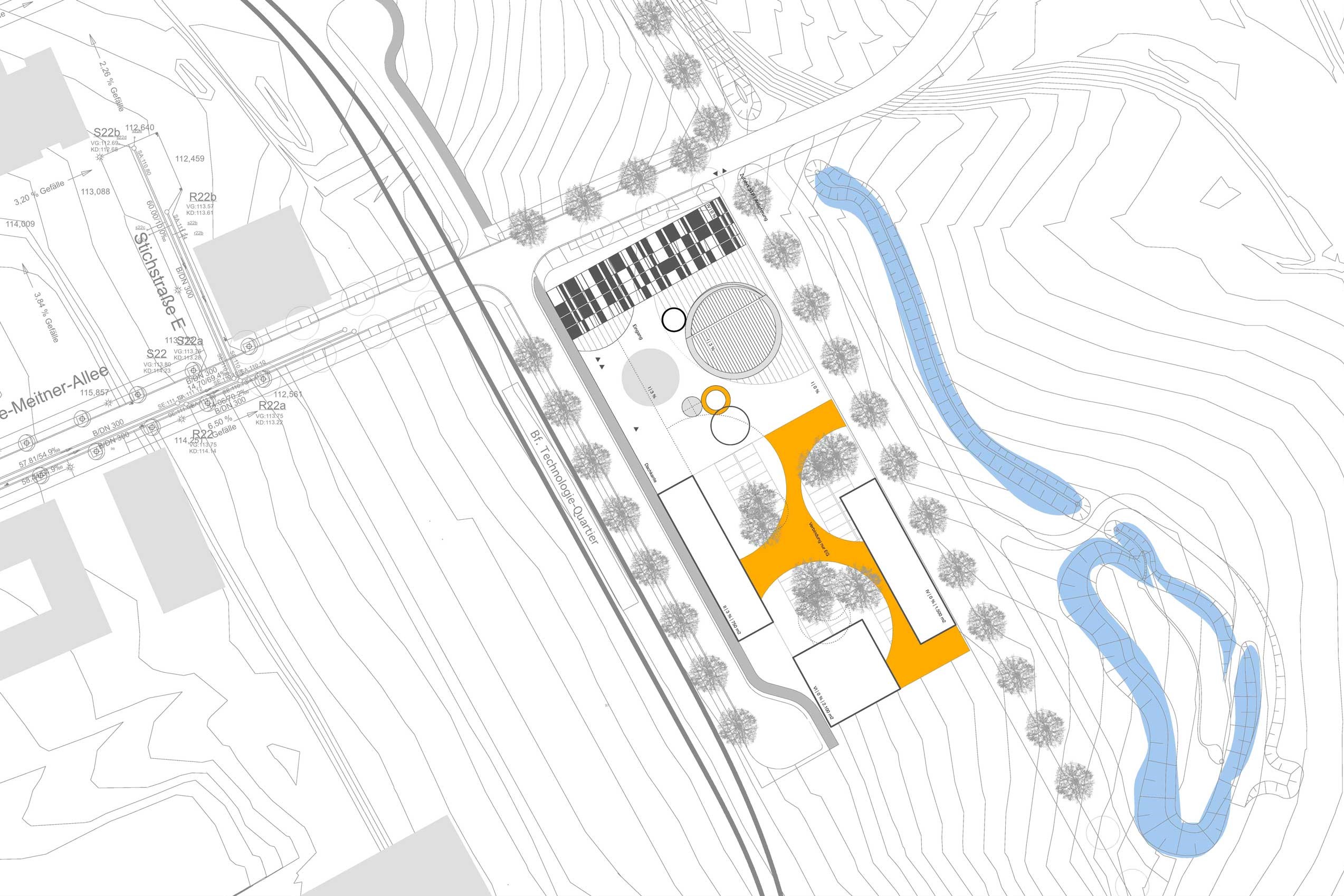
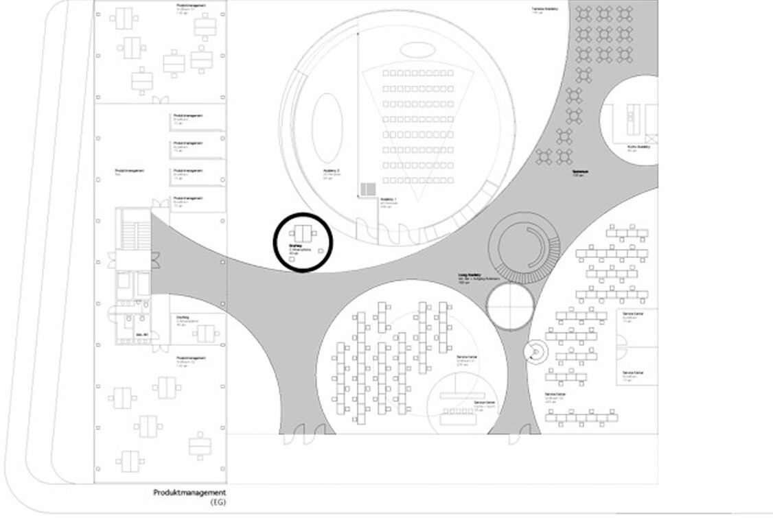
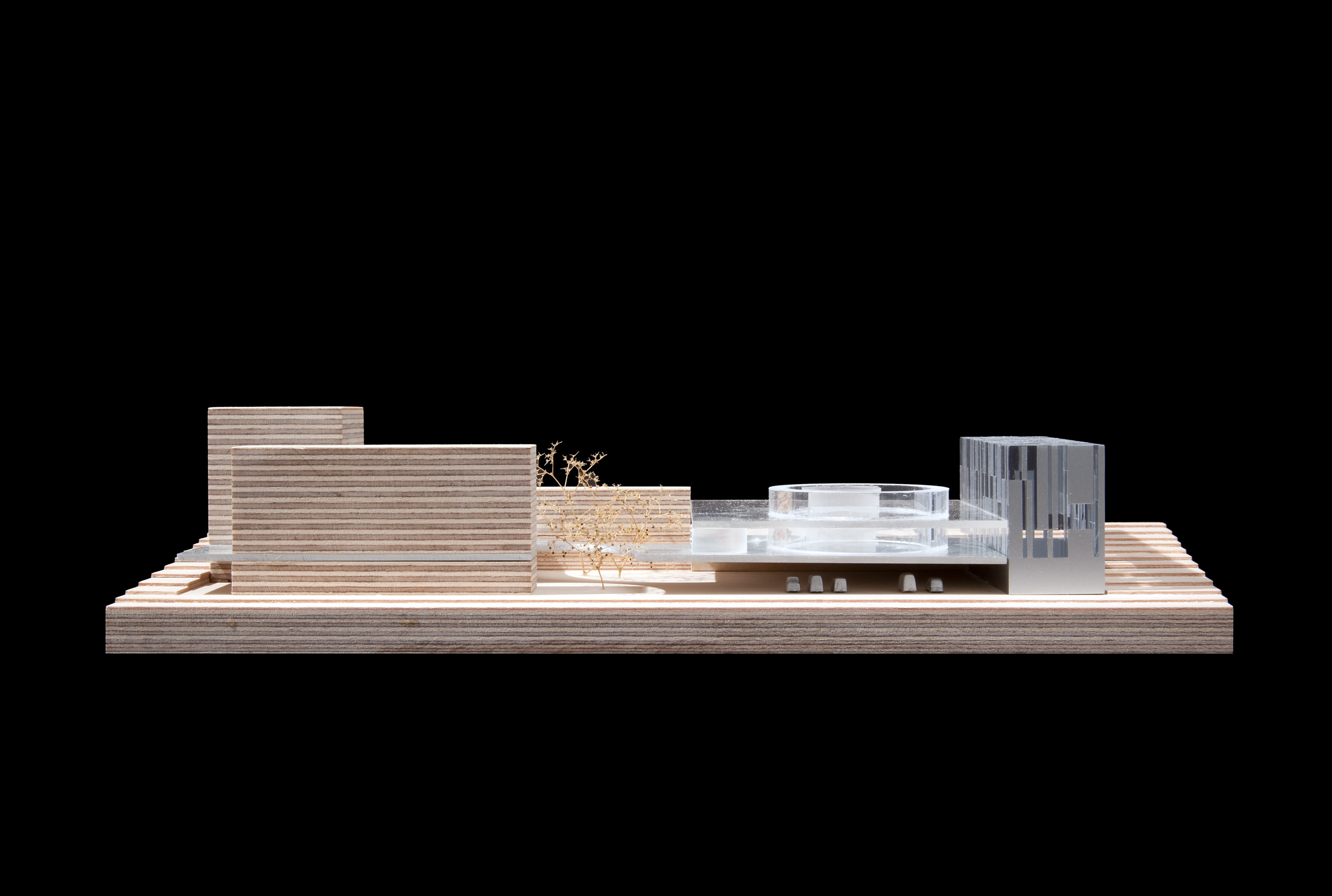
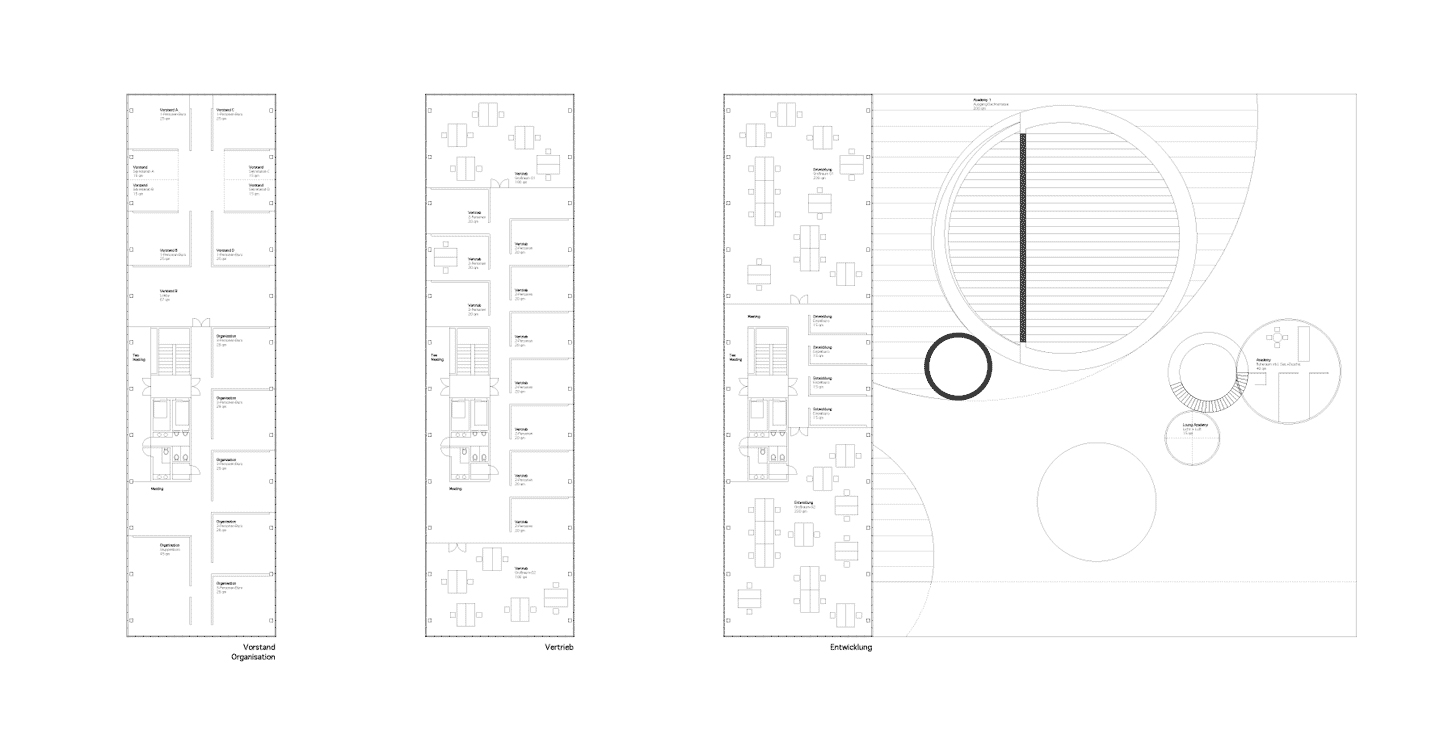
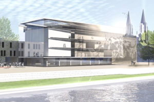
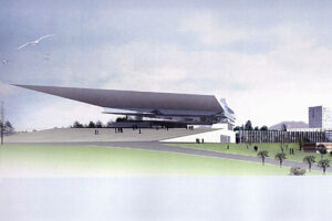
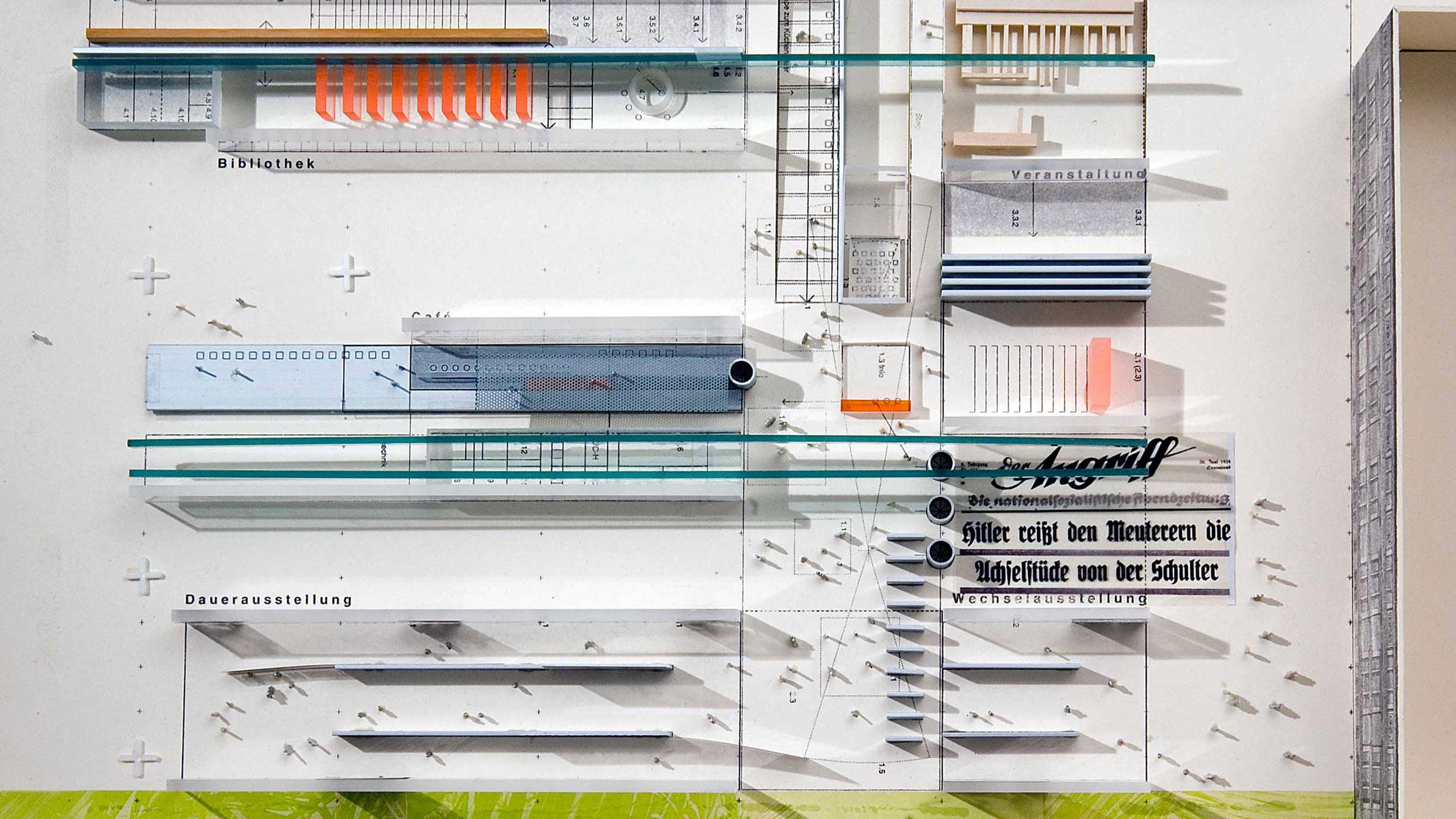
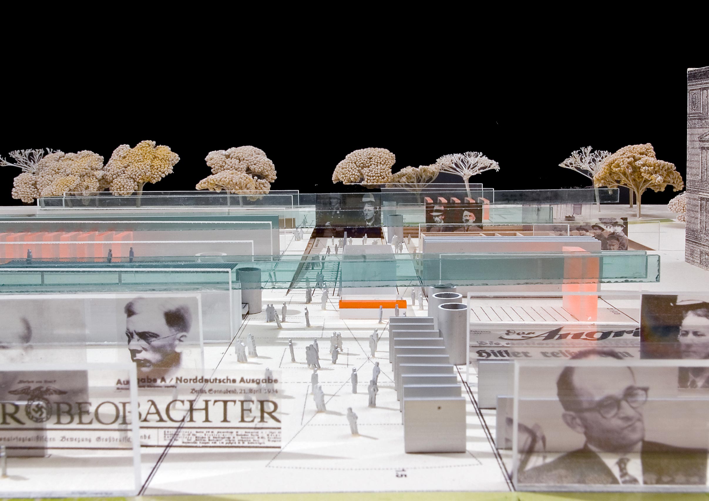
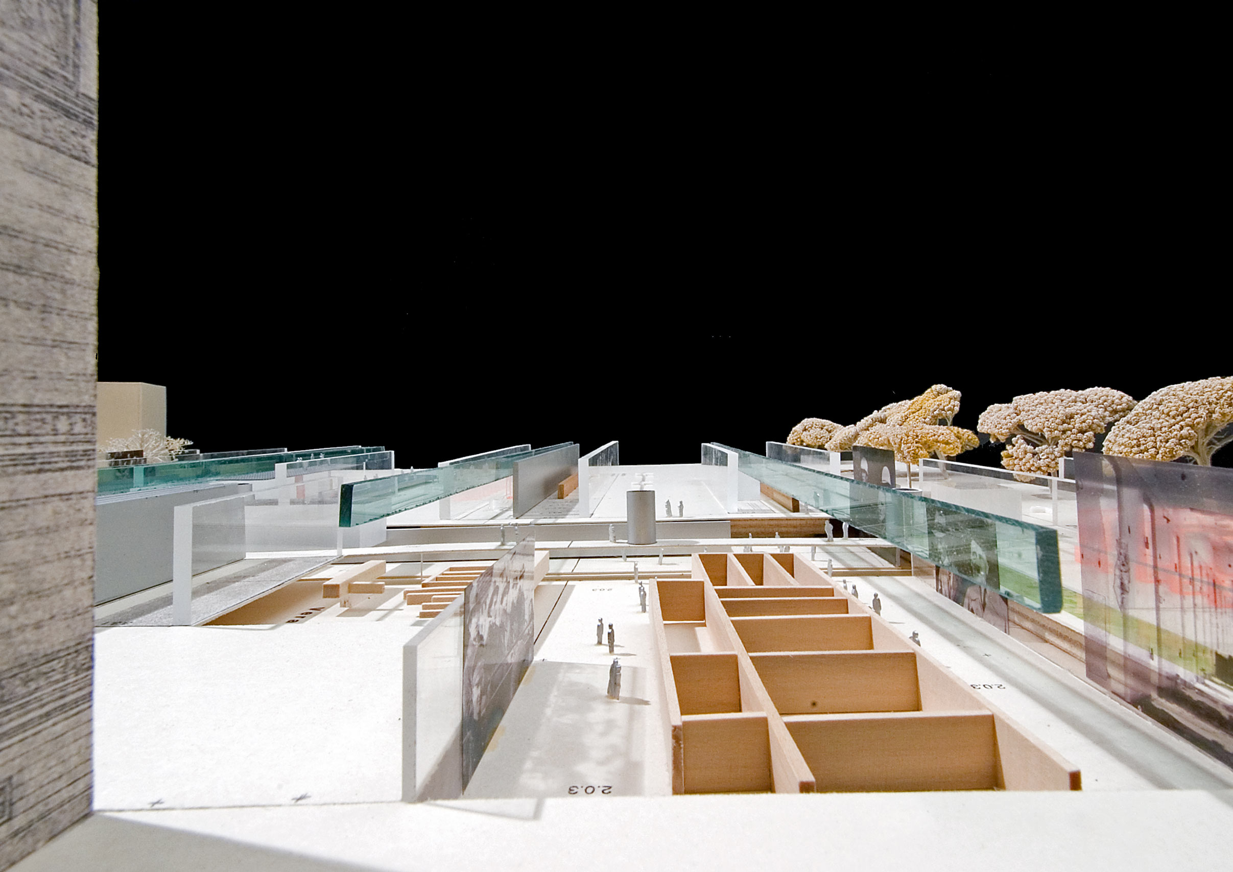
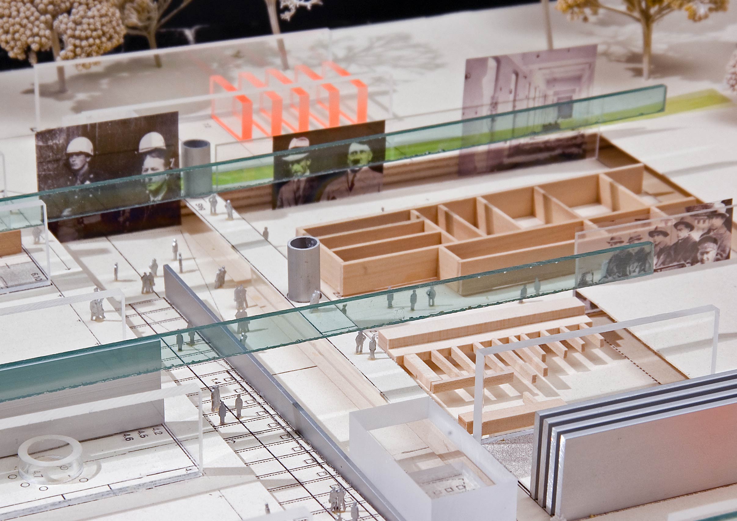
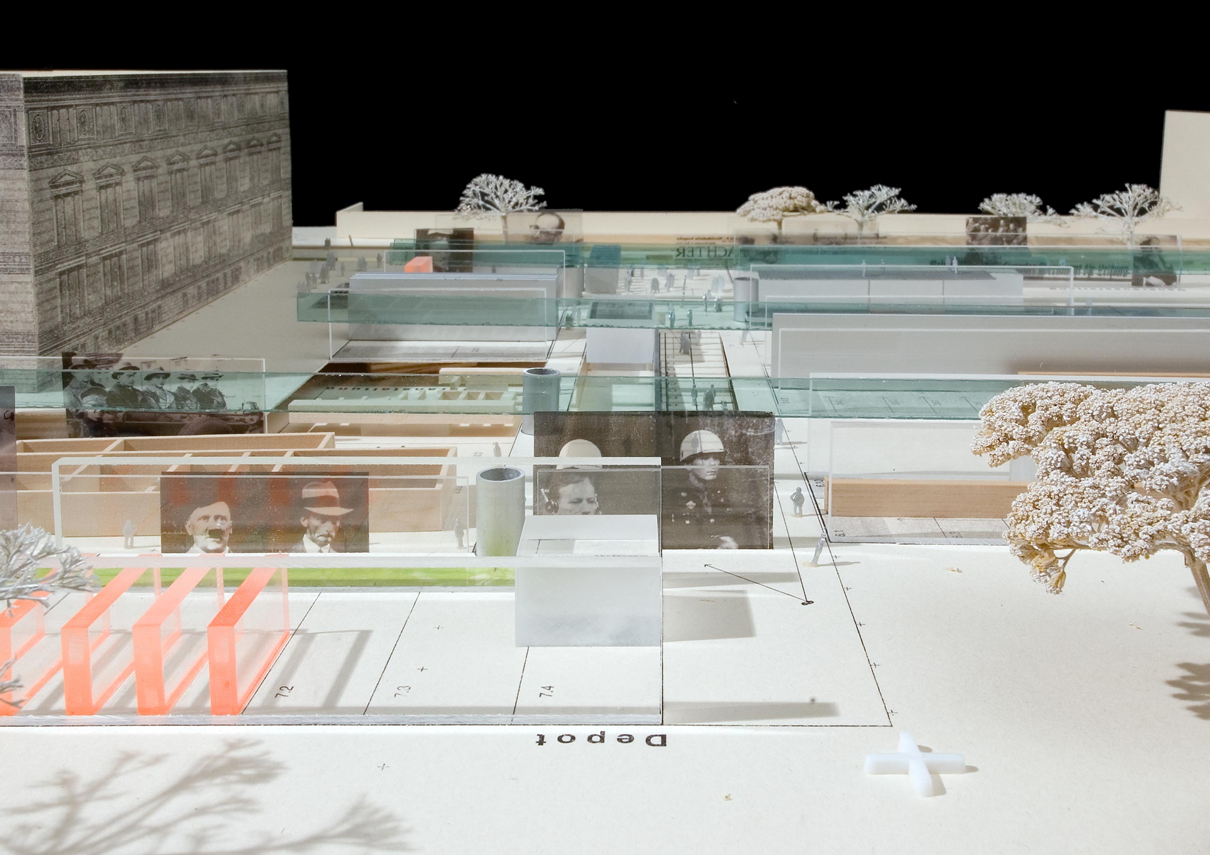
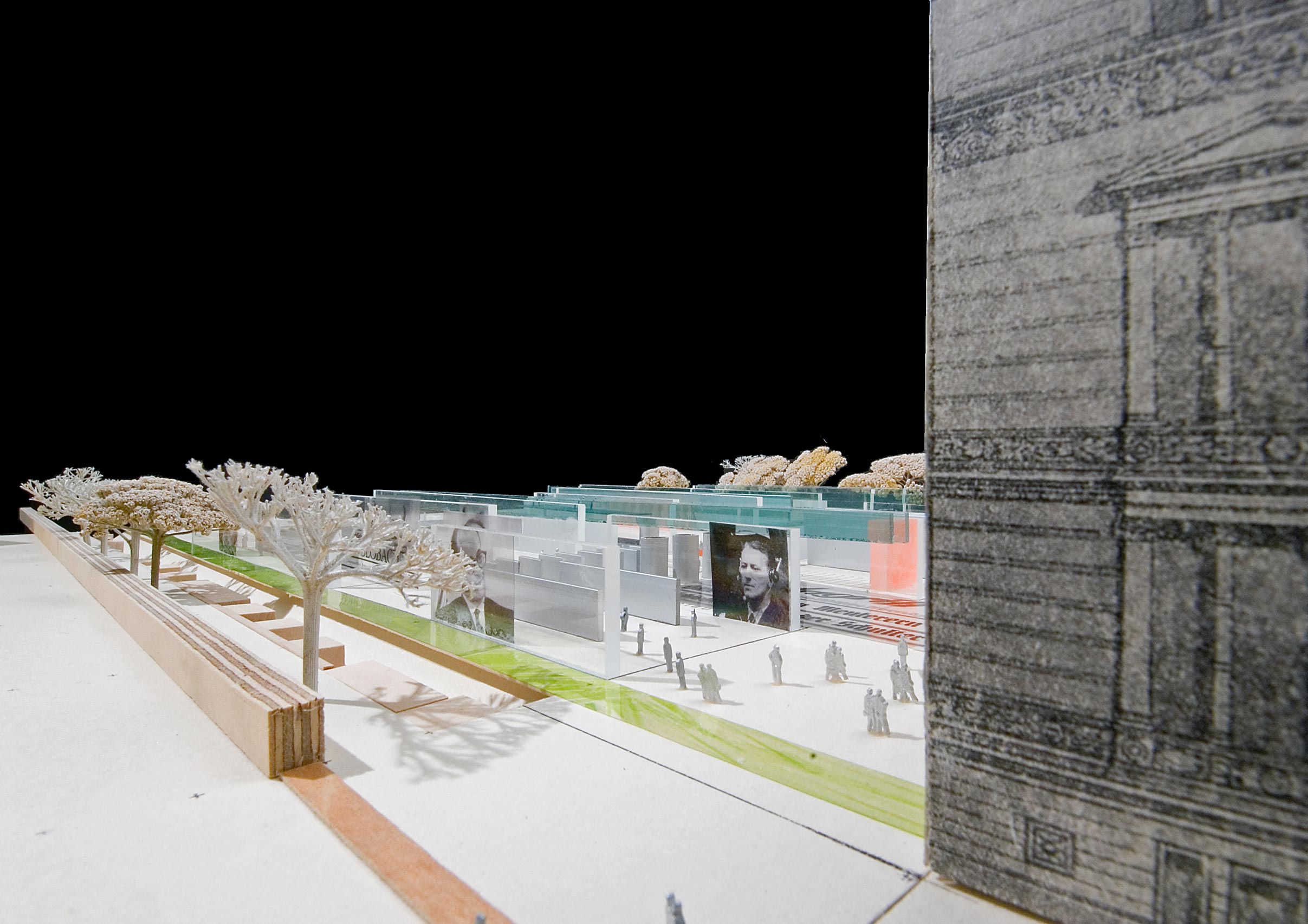
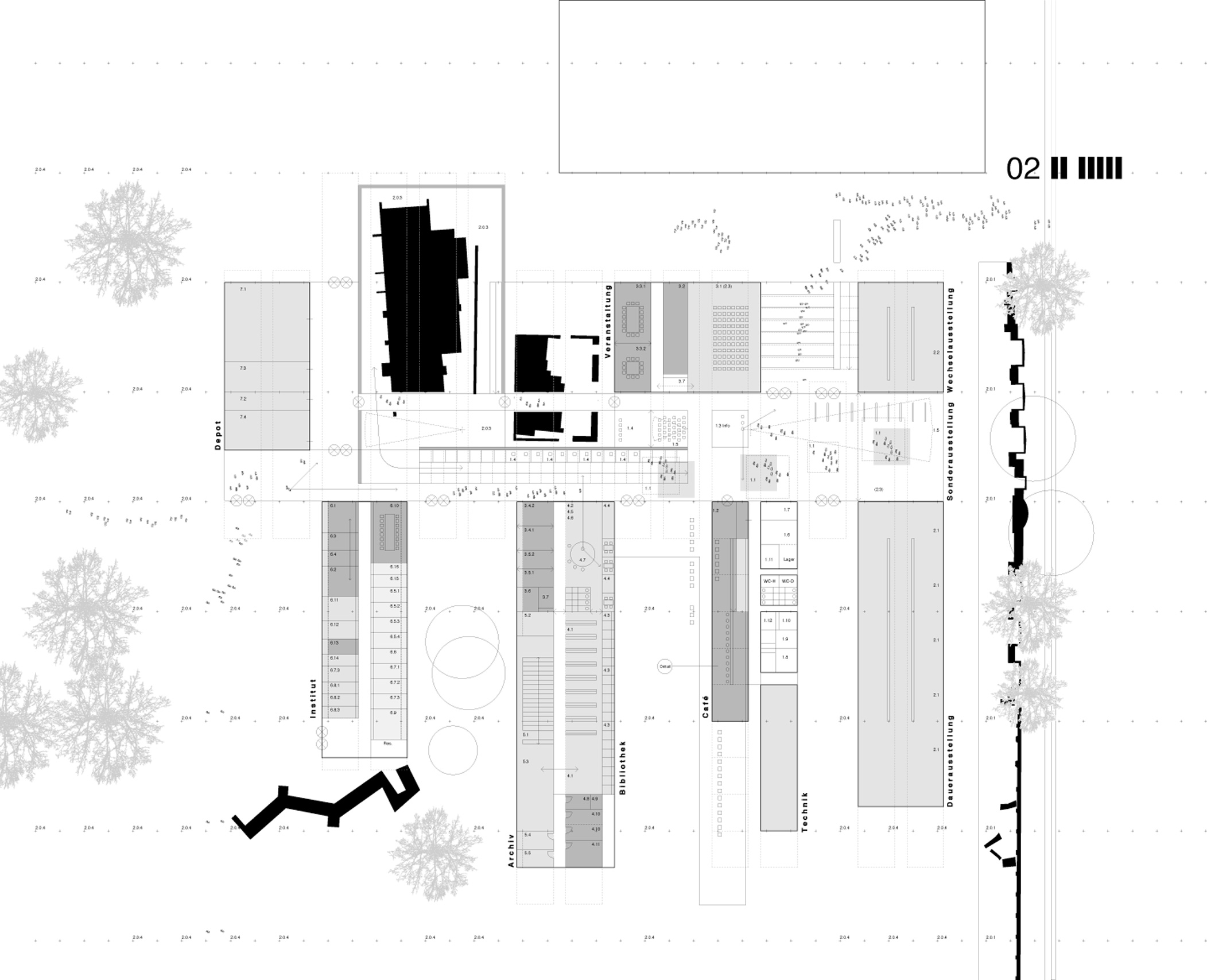
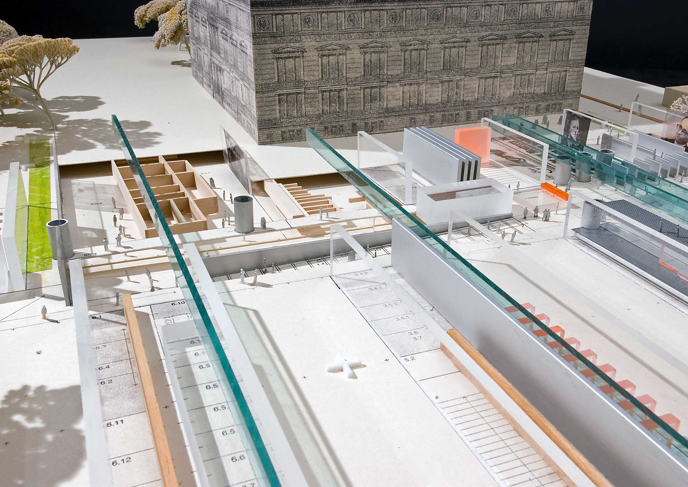
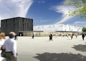
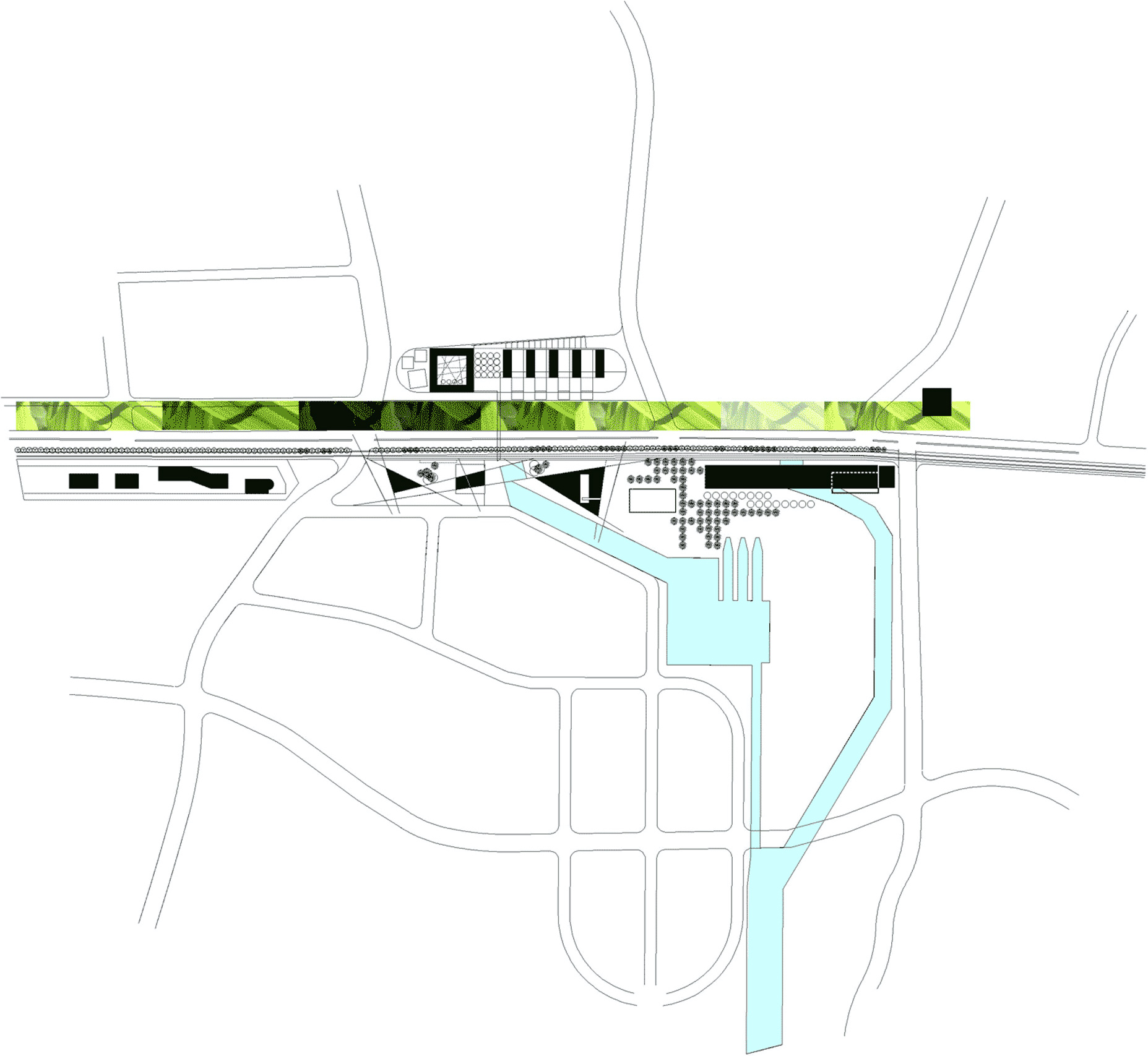
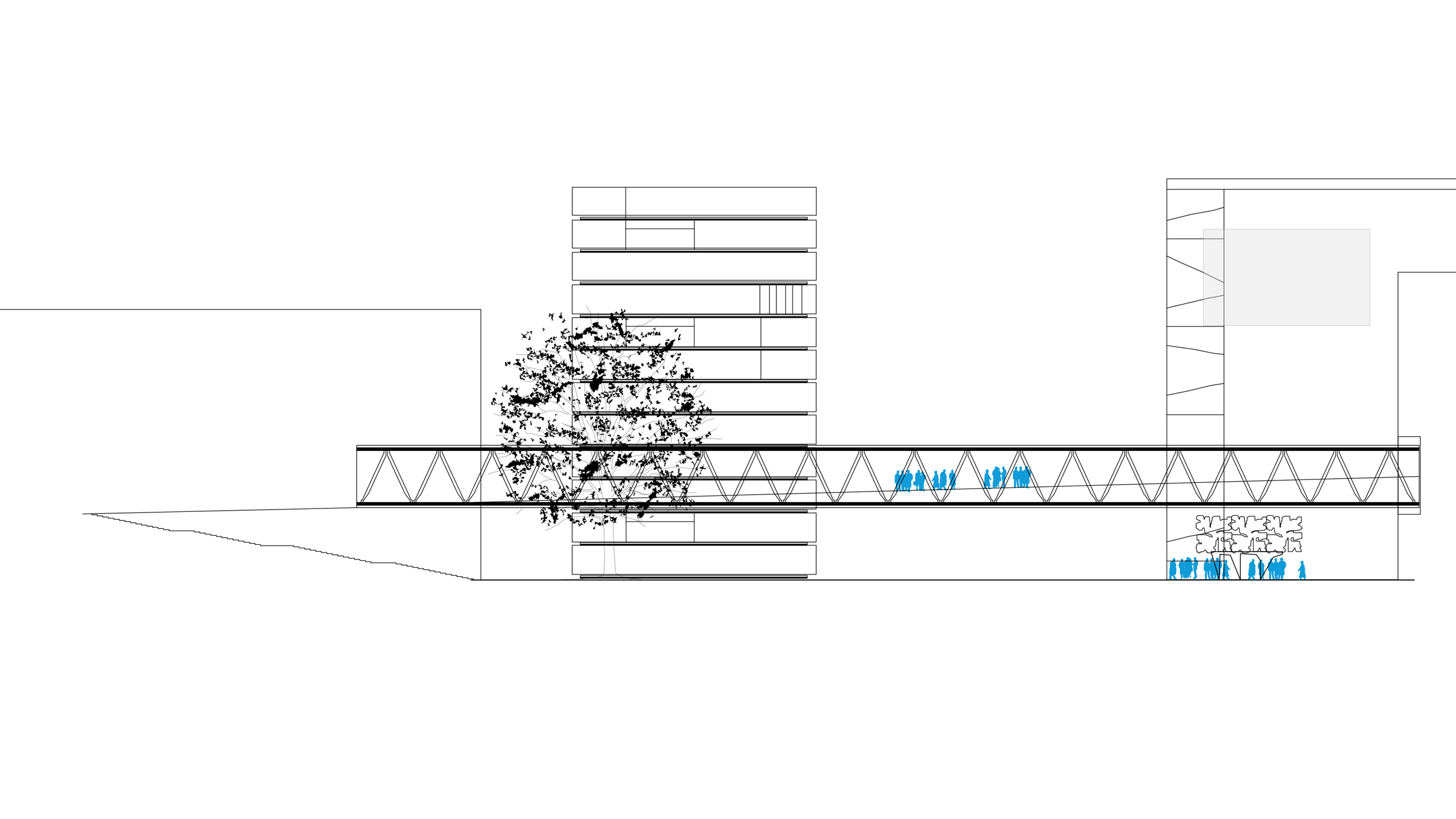
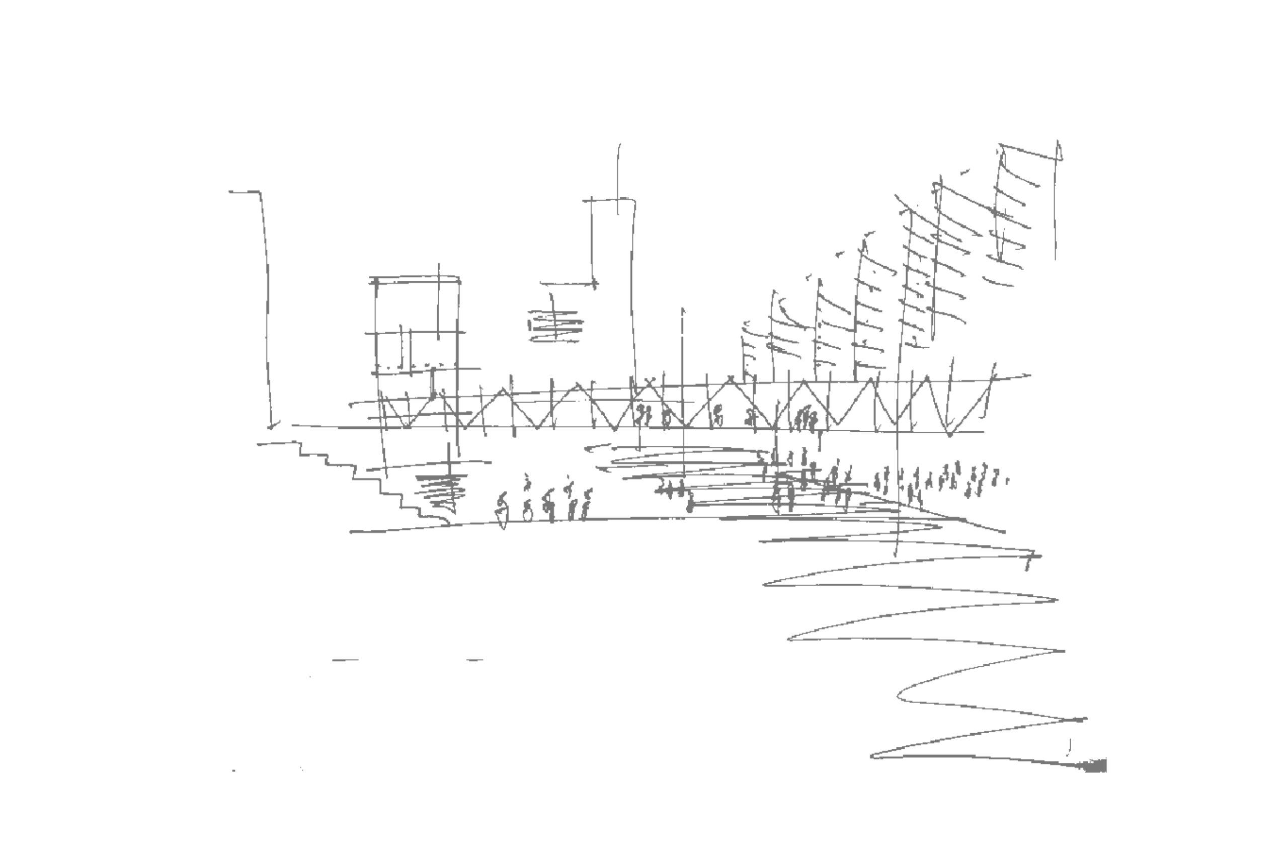
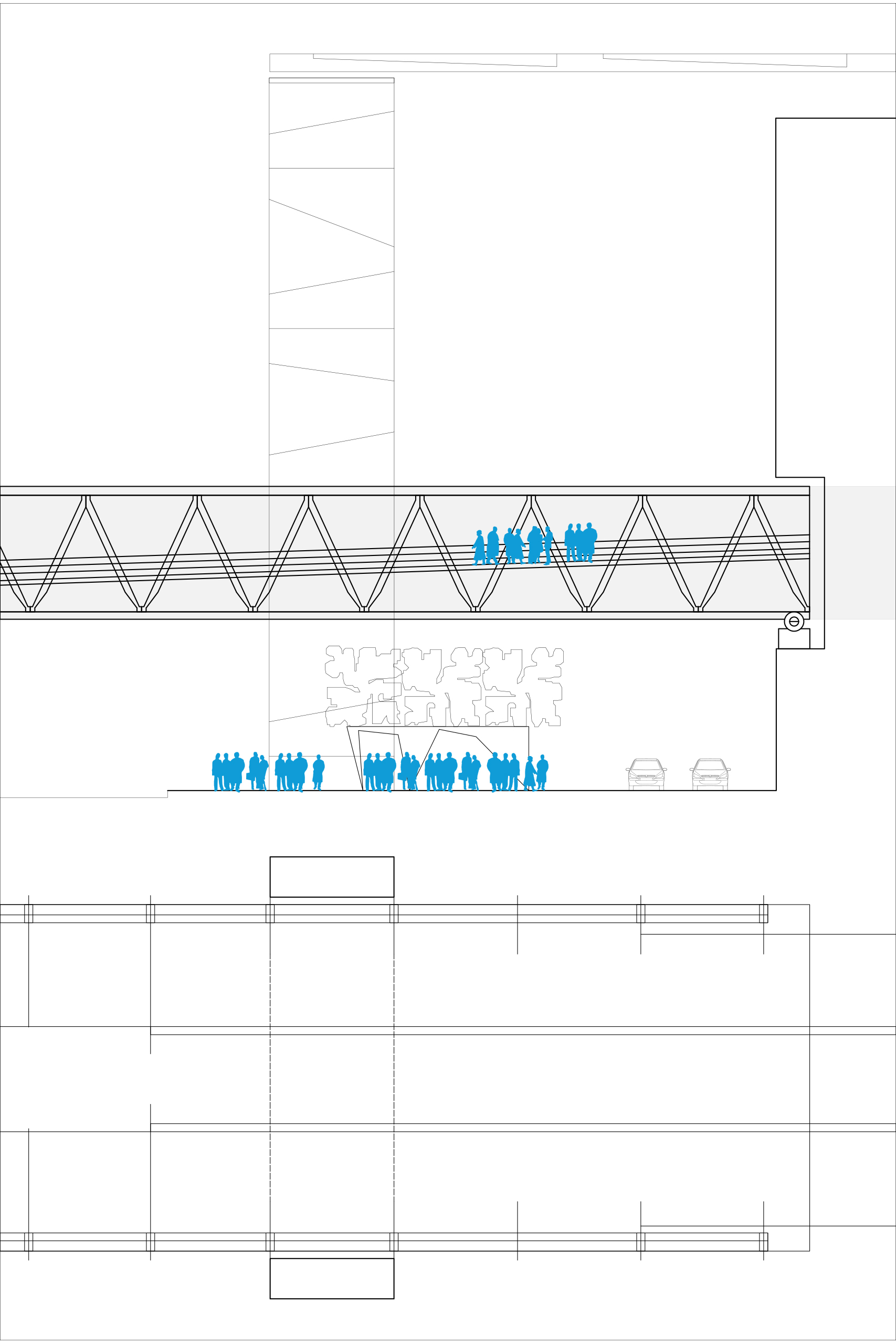
The roof of the museum will be designed as a walkable terrace landscape—a vibrant urban space for soccer games, spectators, city walkers, café terraces, lounging areas, and more: an arena on top of the museum in the city.
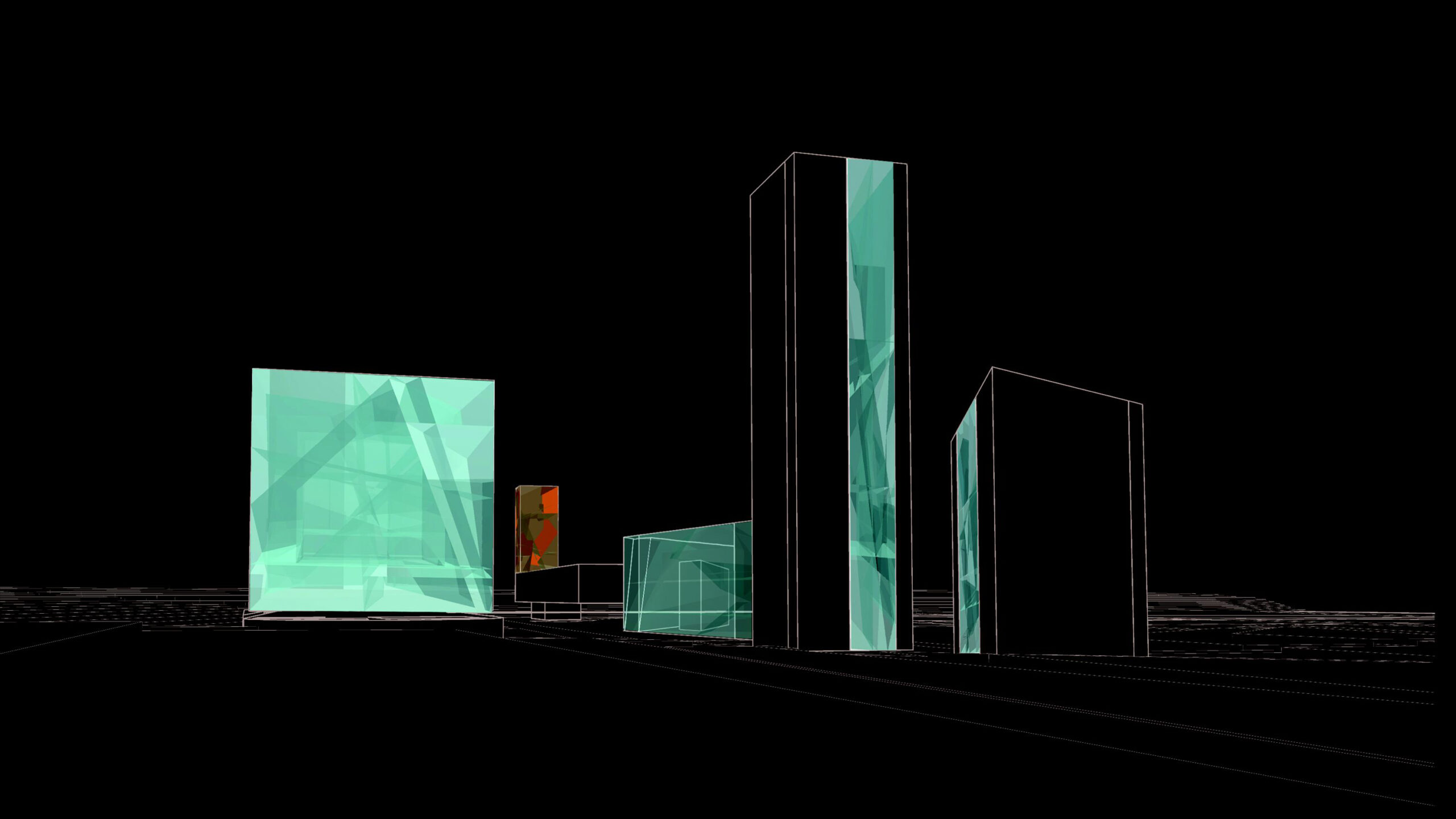
The building combines two urban potentials:
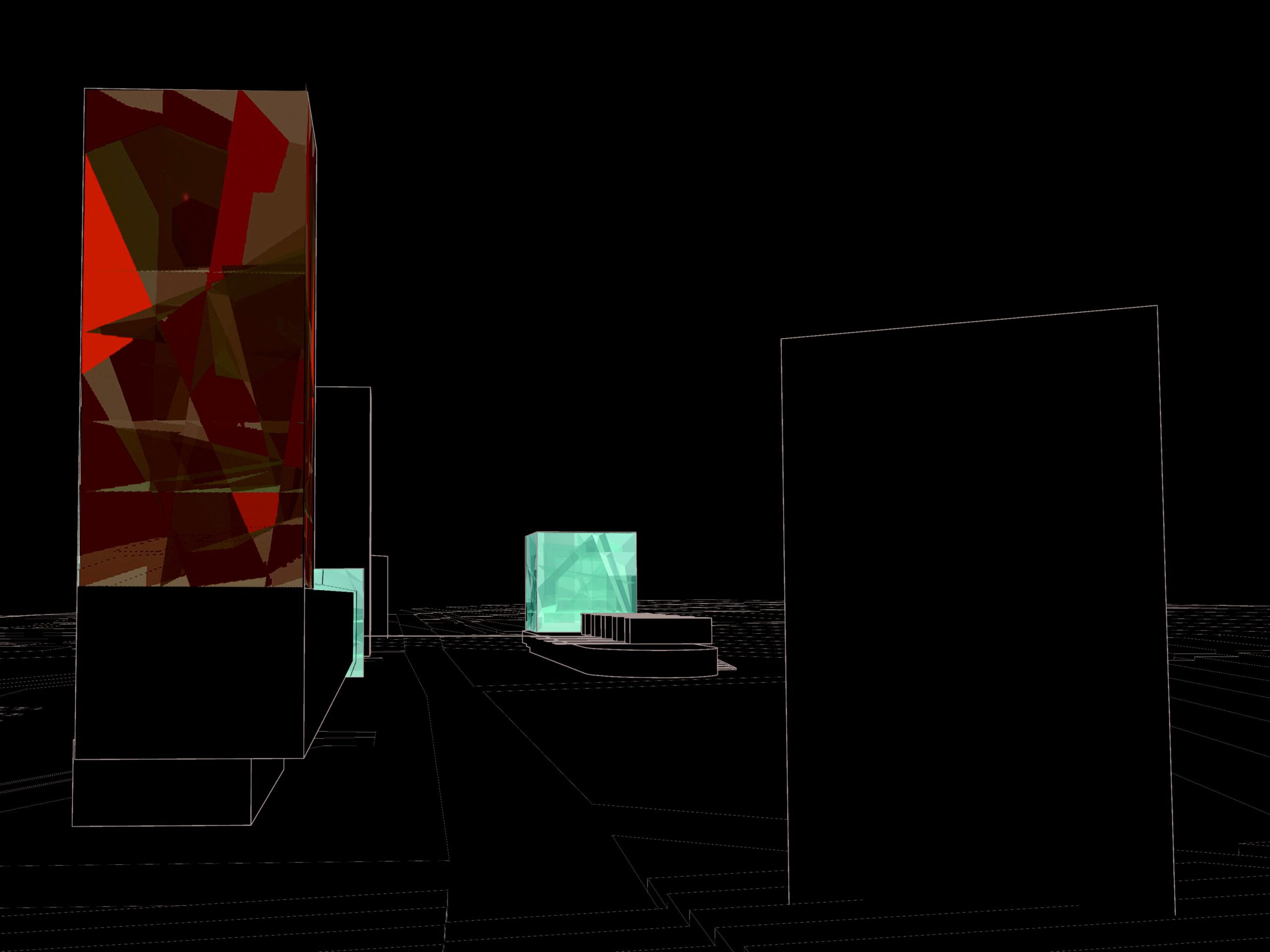
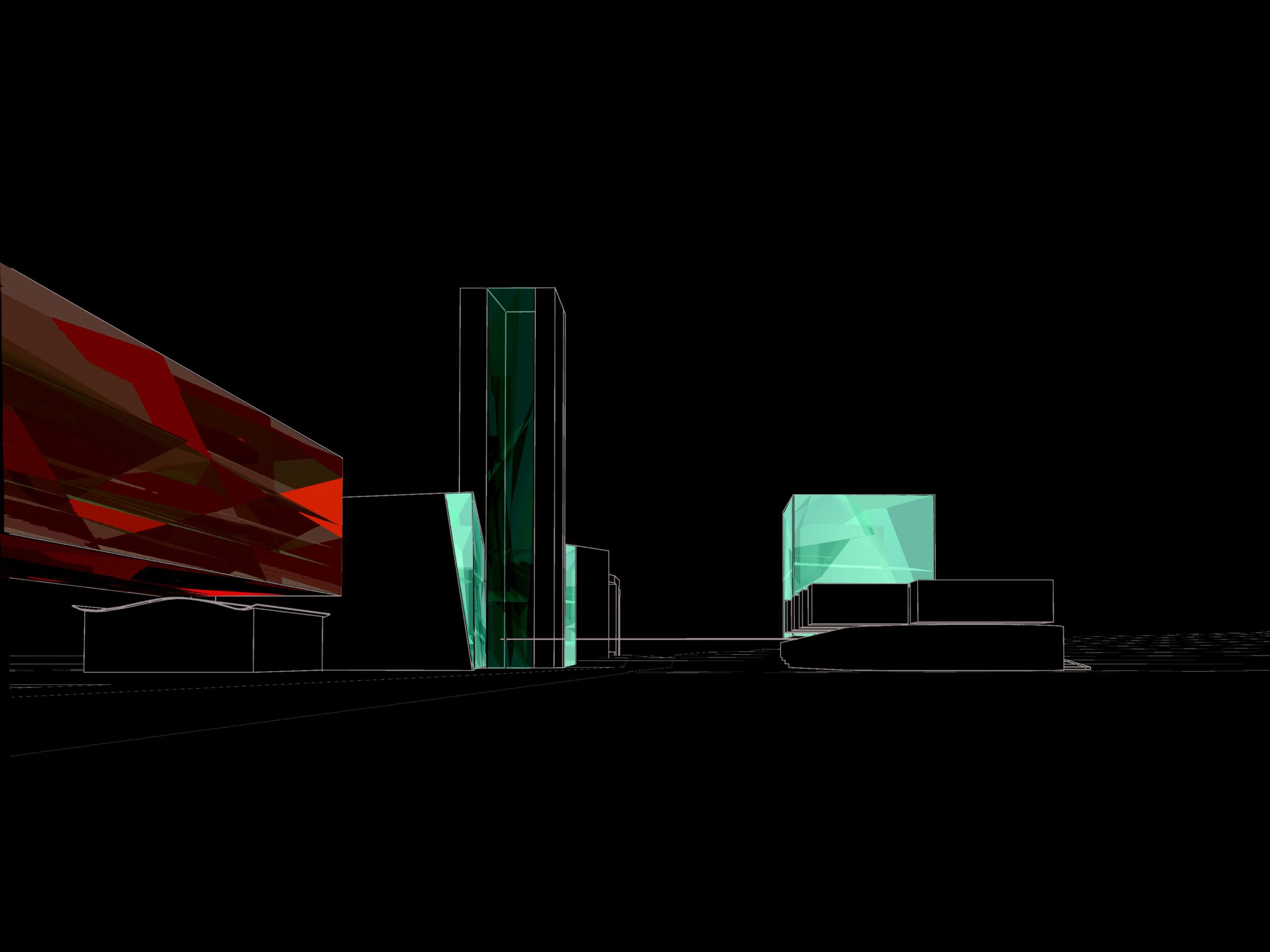
- Symbolic Value: A distinctive symbol with strong identification power for both the DFB and the city of Dortmund.
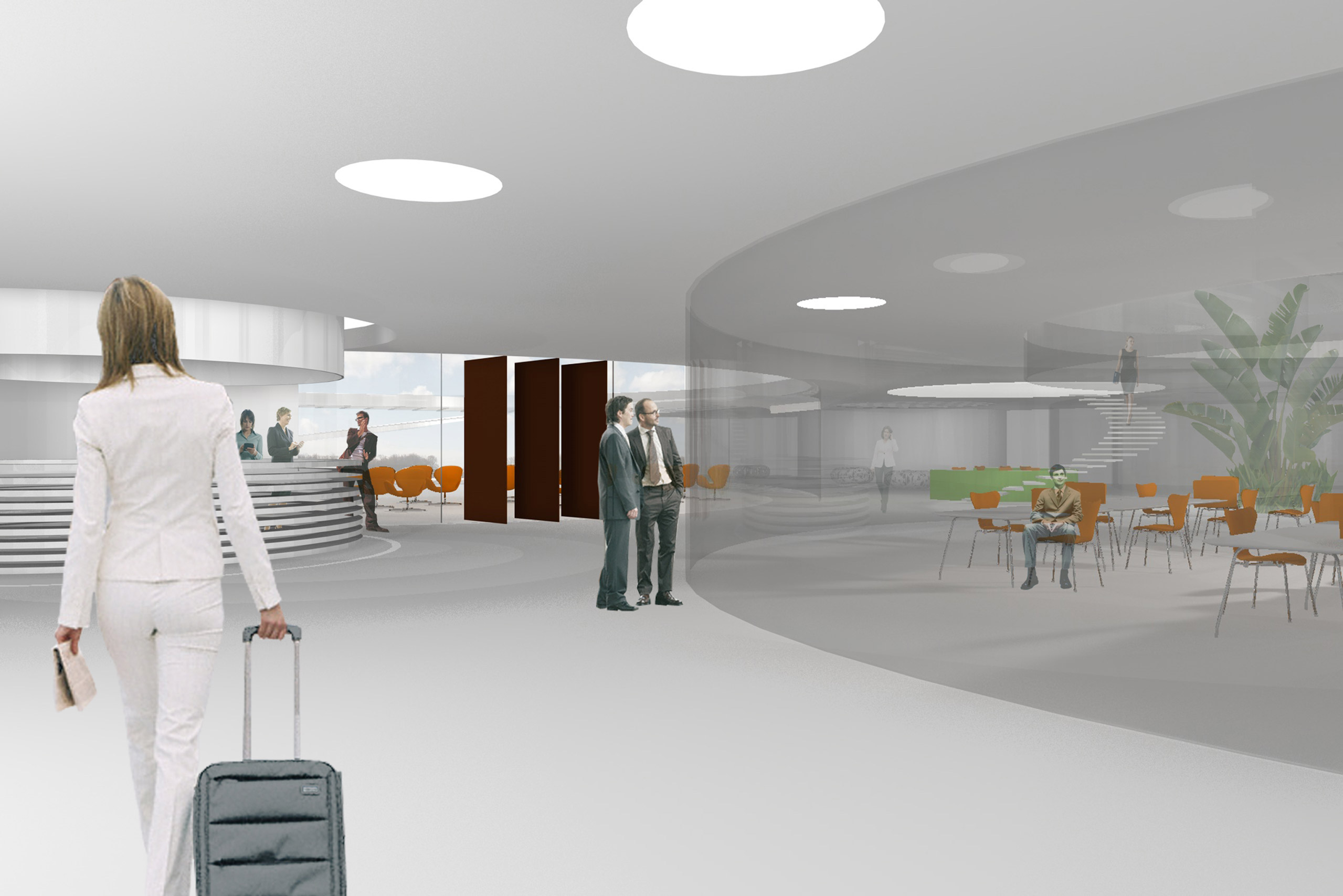
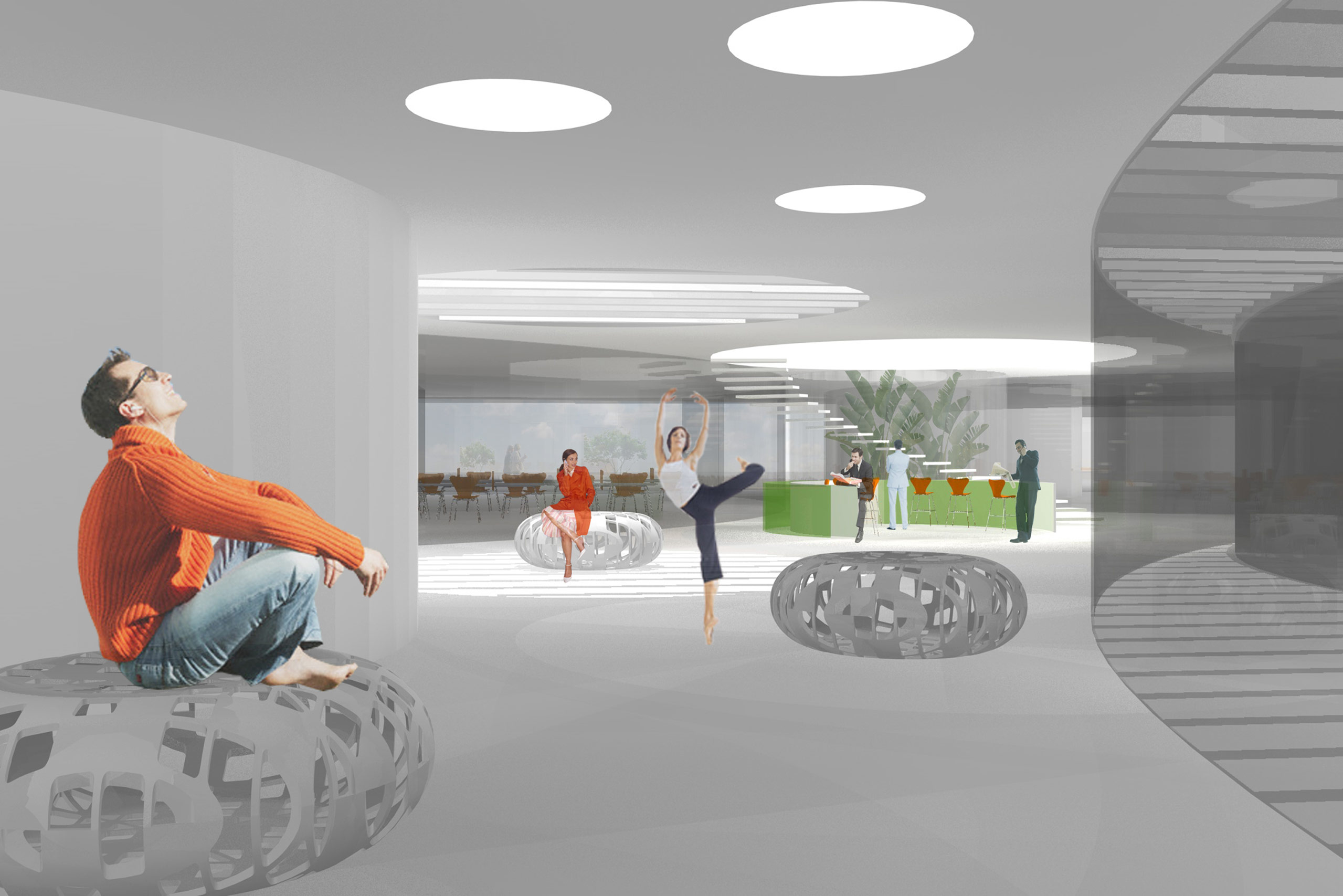
- Functional Value: The building’s user interface activates the structure—beyond its museum functions—creating a unique, lively space within the urban environment: the museum plays an active role in city life. The usable surface of the museum building adds value both for the operator and the city.
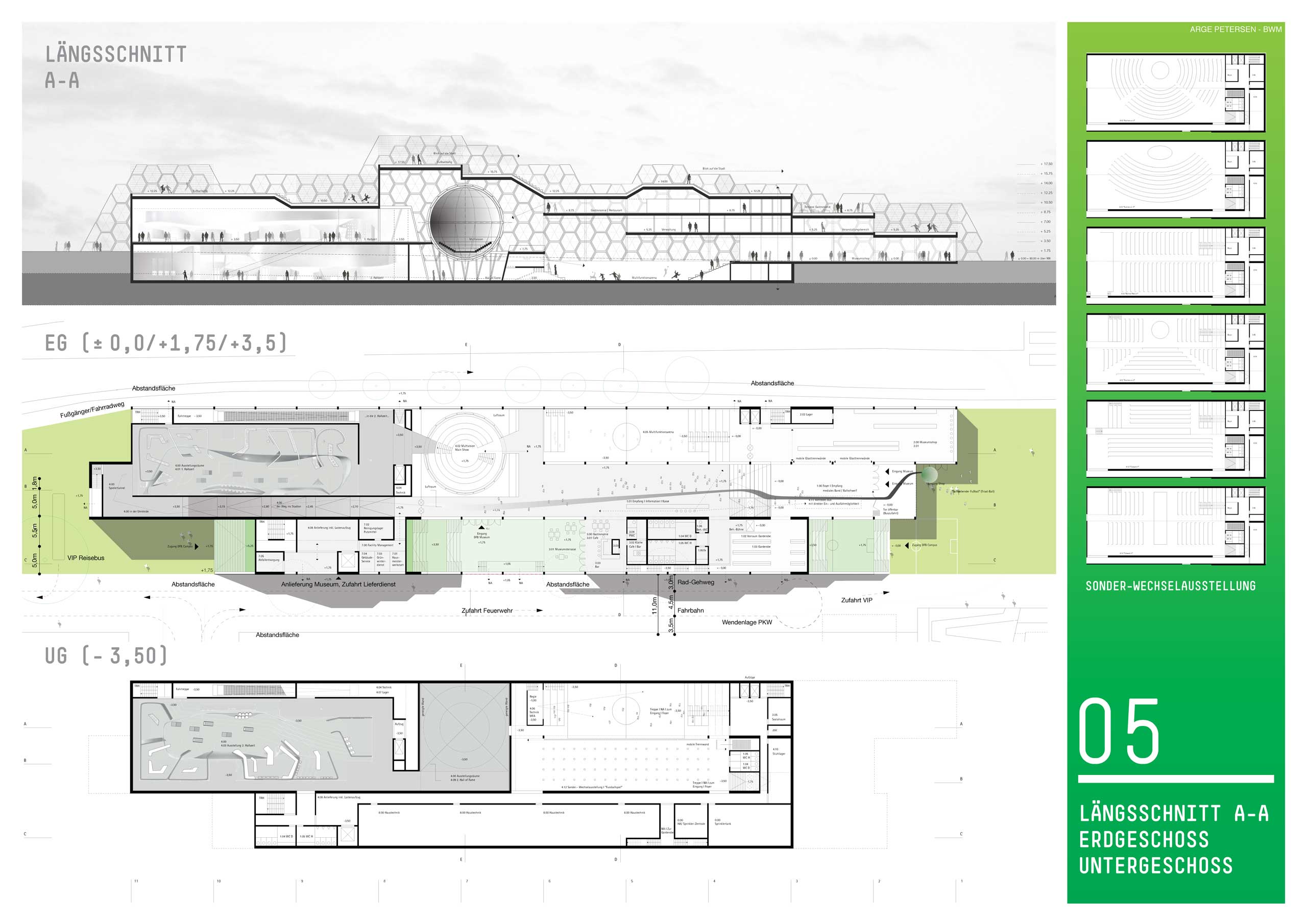
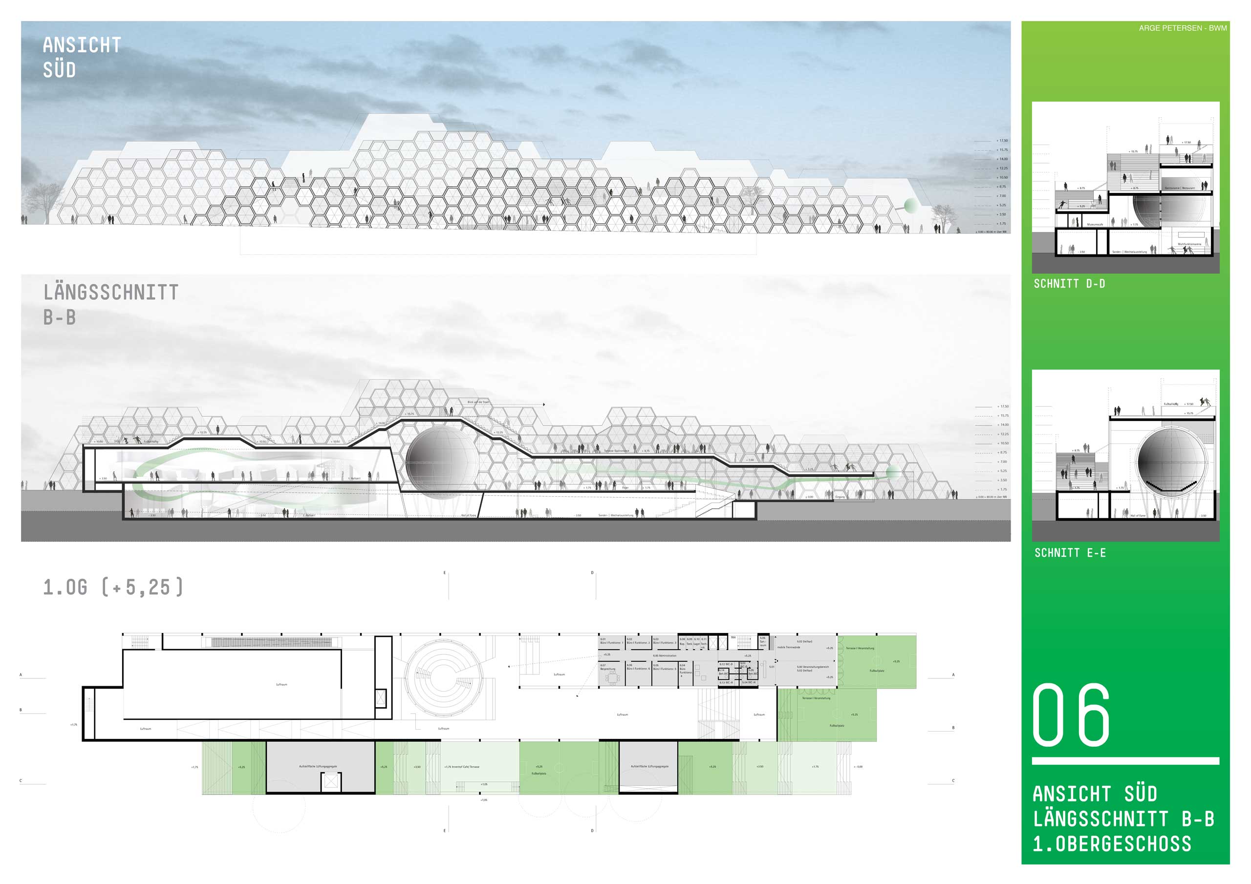
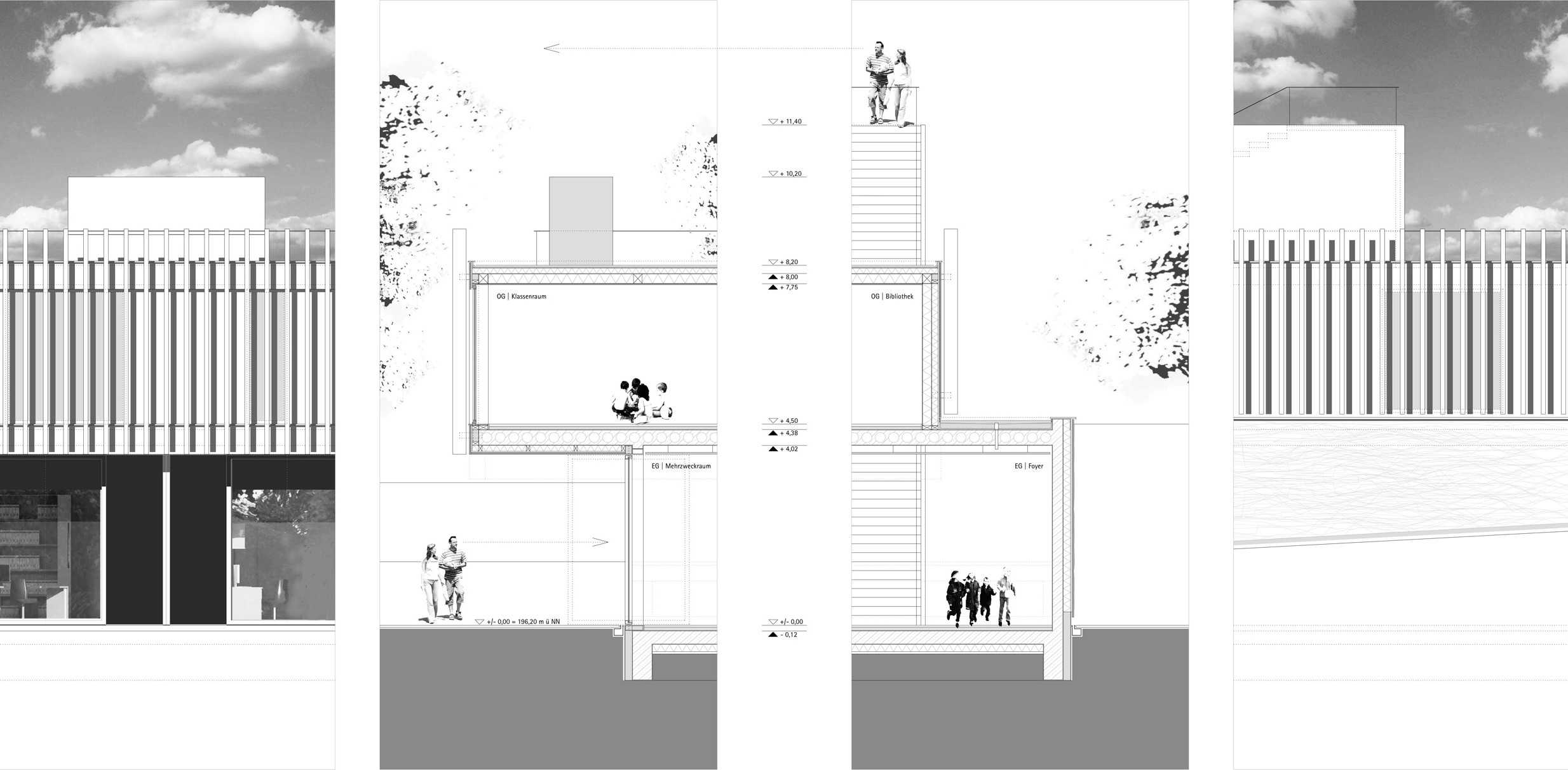
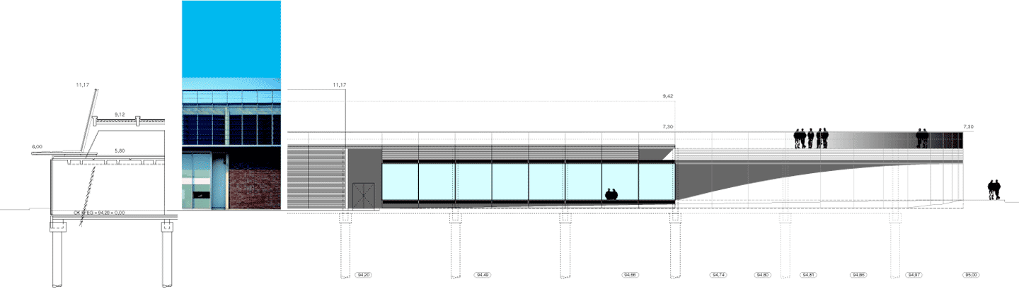
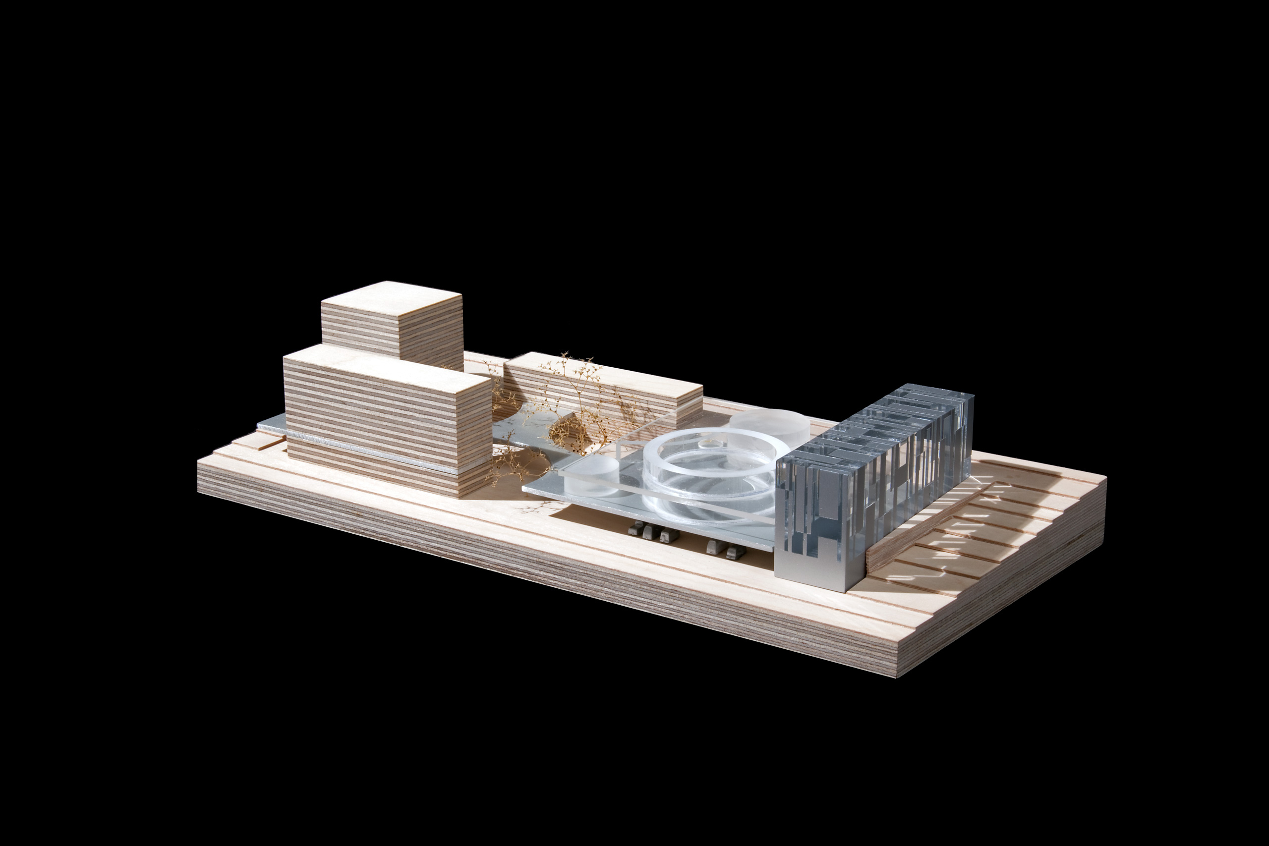
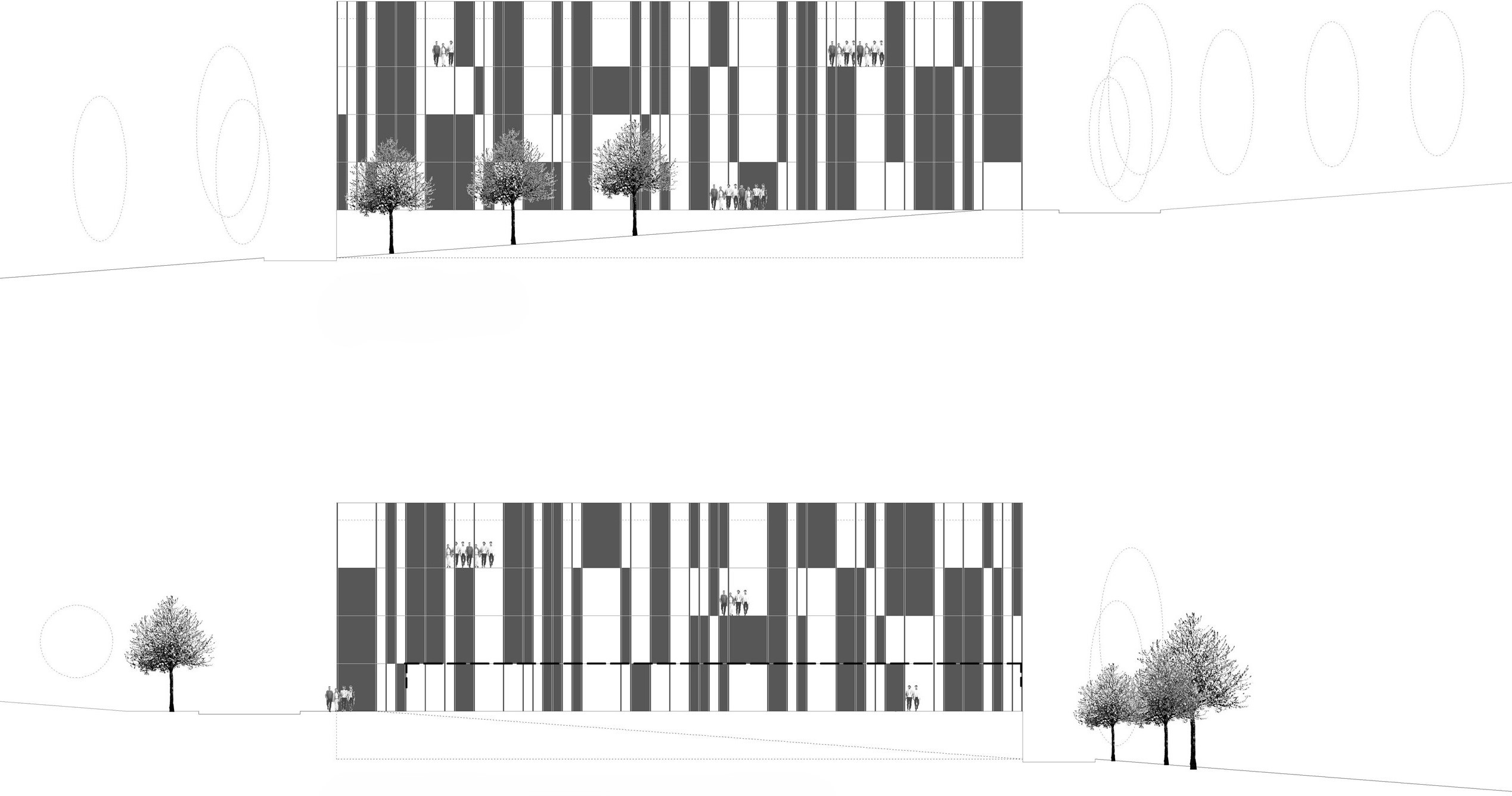
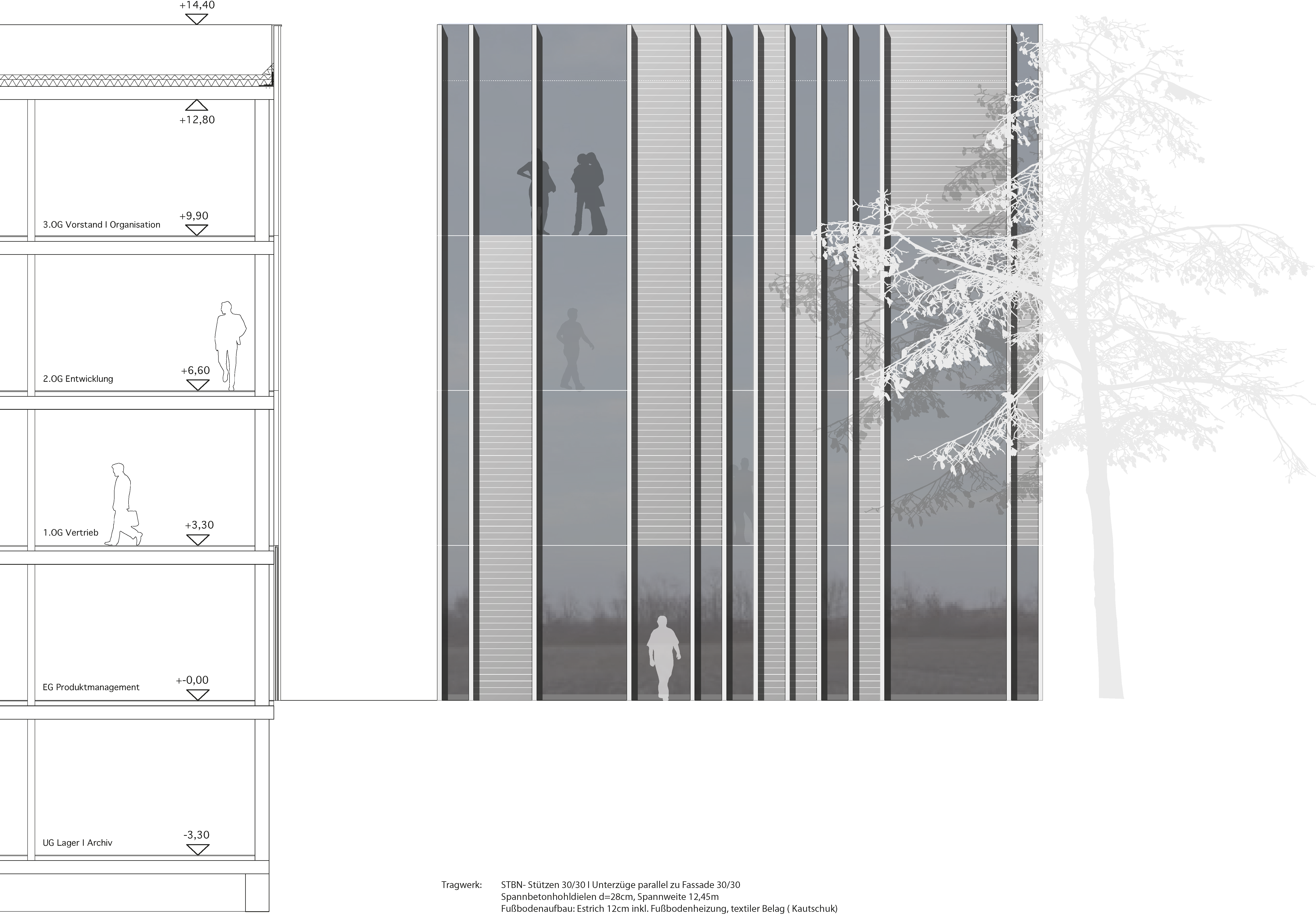
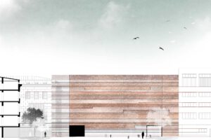
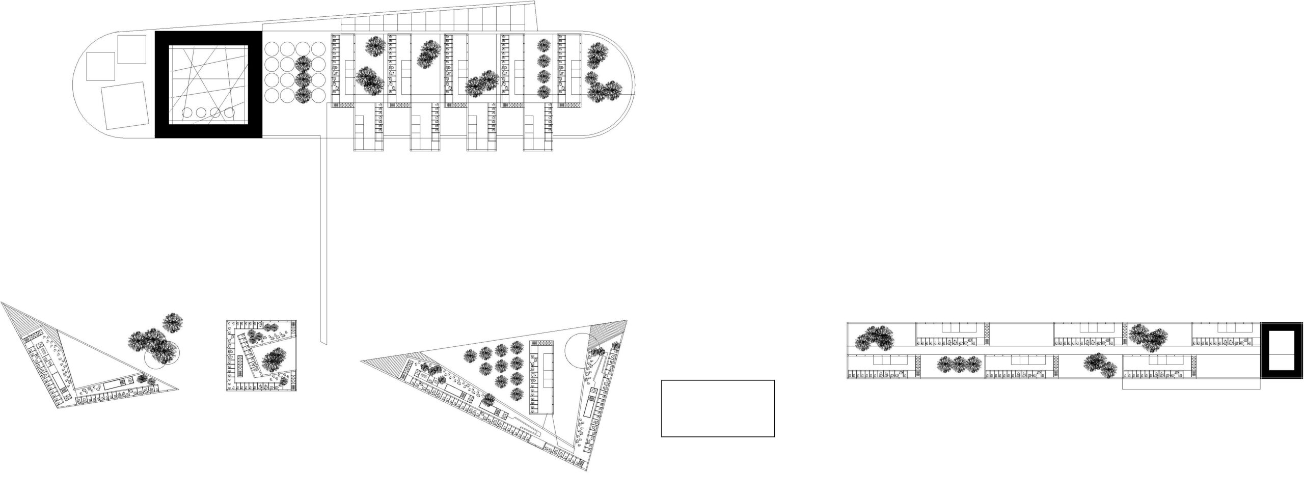
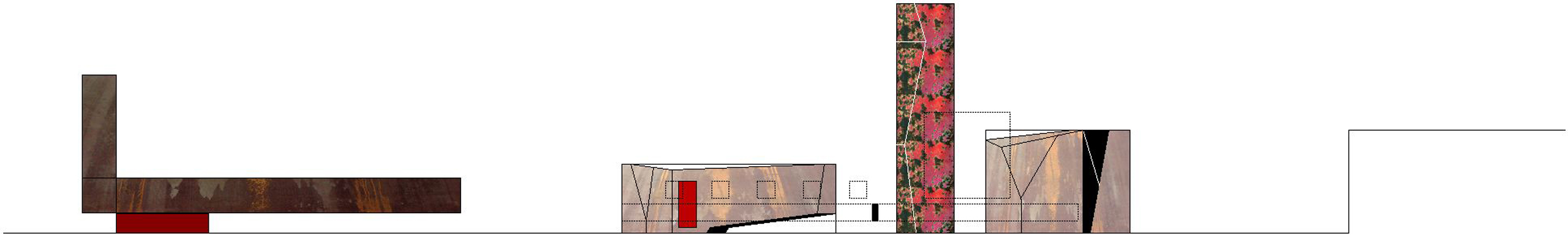
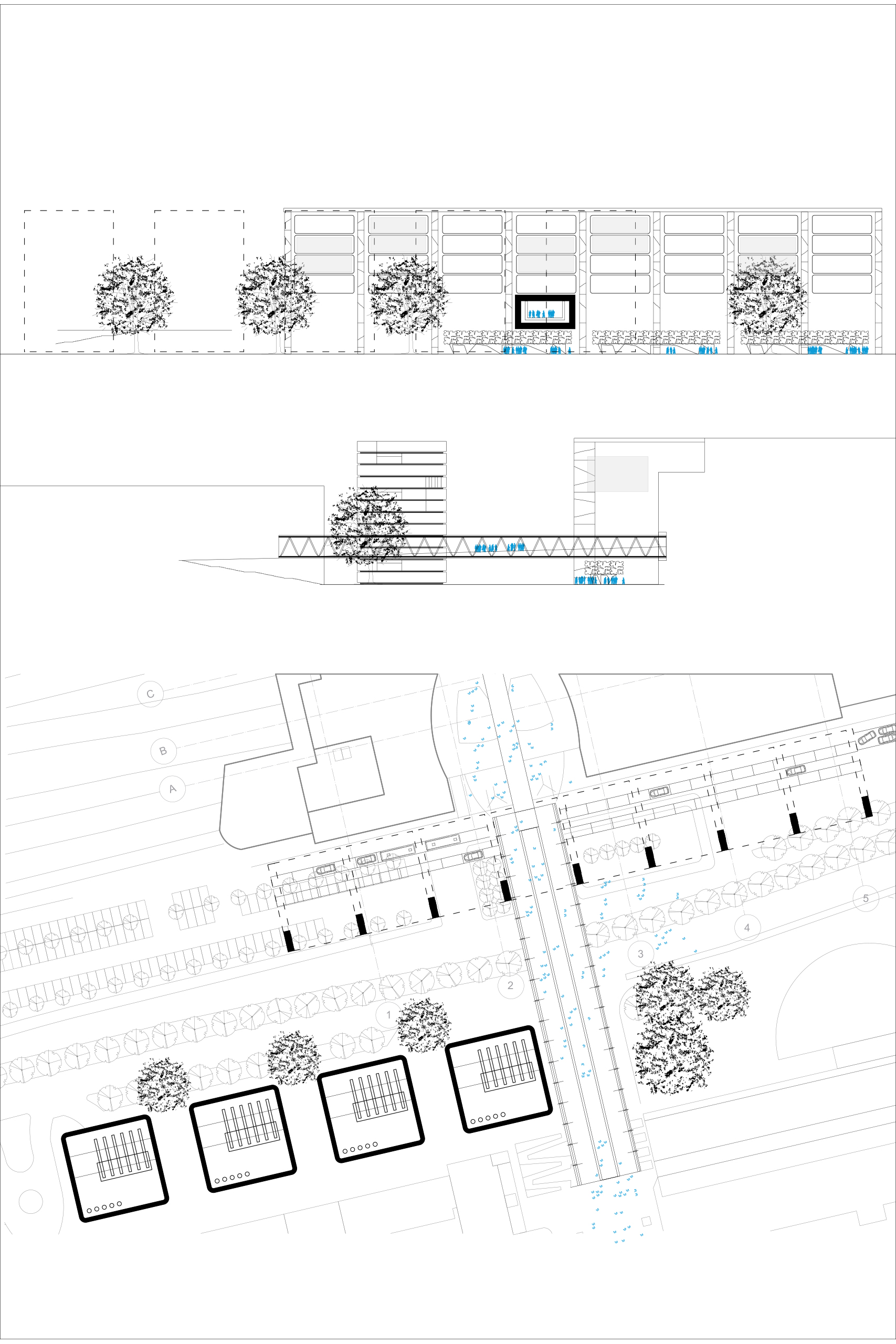
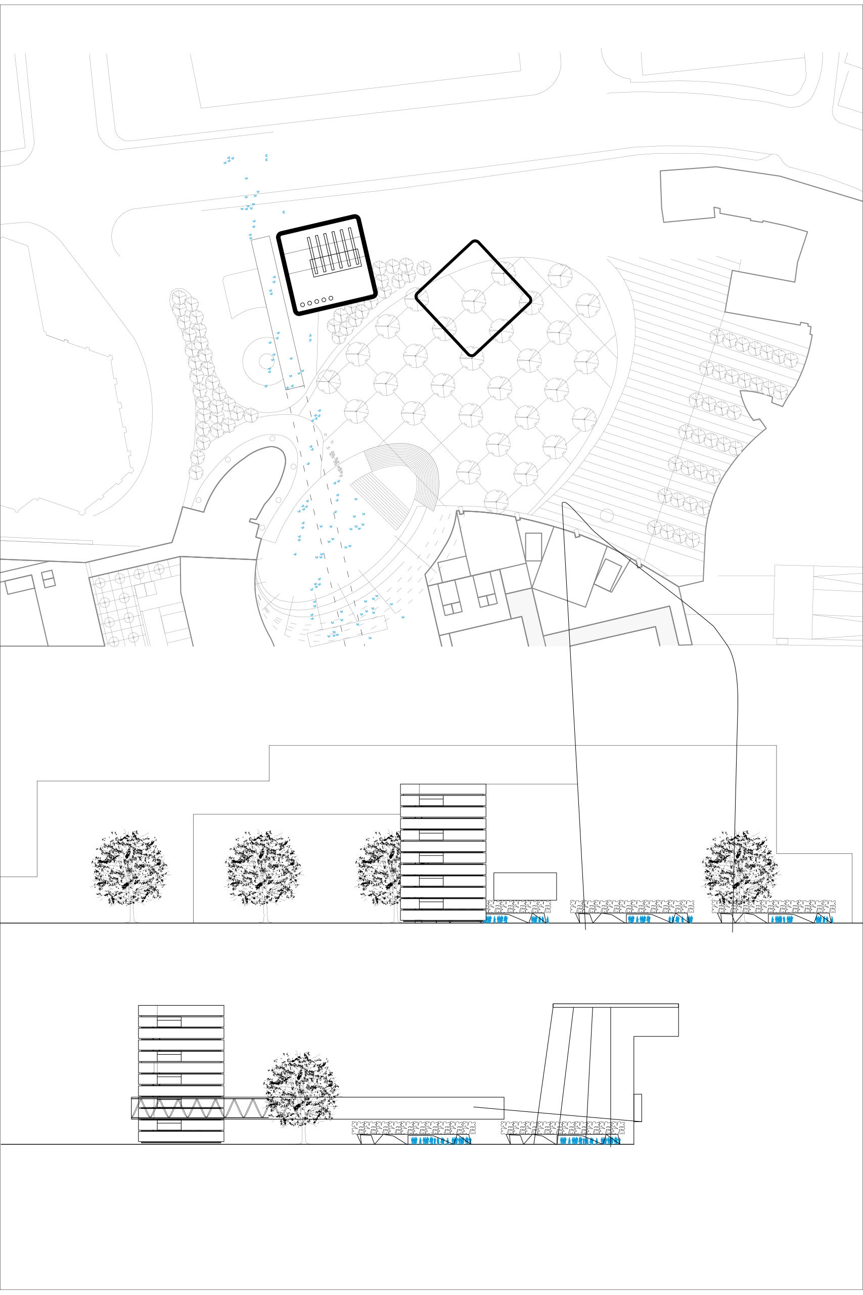
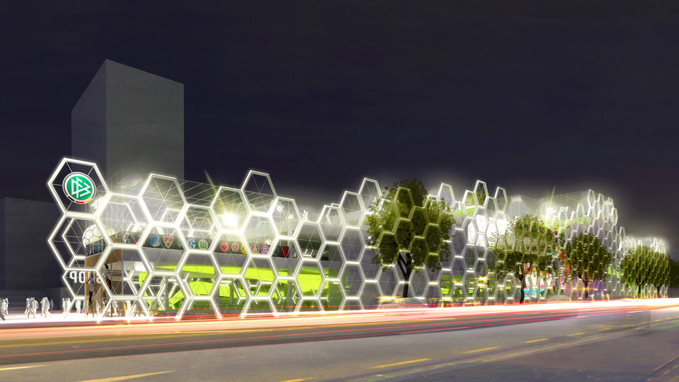
The terraced height development of the building, which rhythmically ascends and descends along the cultural mile, creates a "landscape" that interacts with the existing urban environment. The museum, overall relatively low, reaches a building height of approximately 15.5 meters at its highest terrace, making it significantly lower than the buildings at the city edge, thereby maintaining its impact on the cityscape.
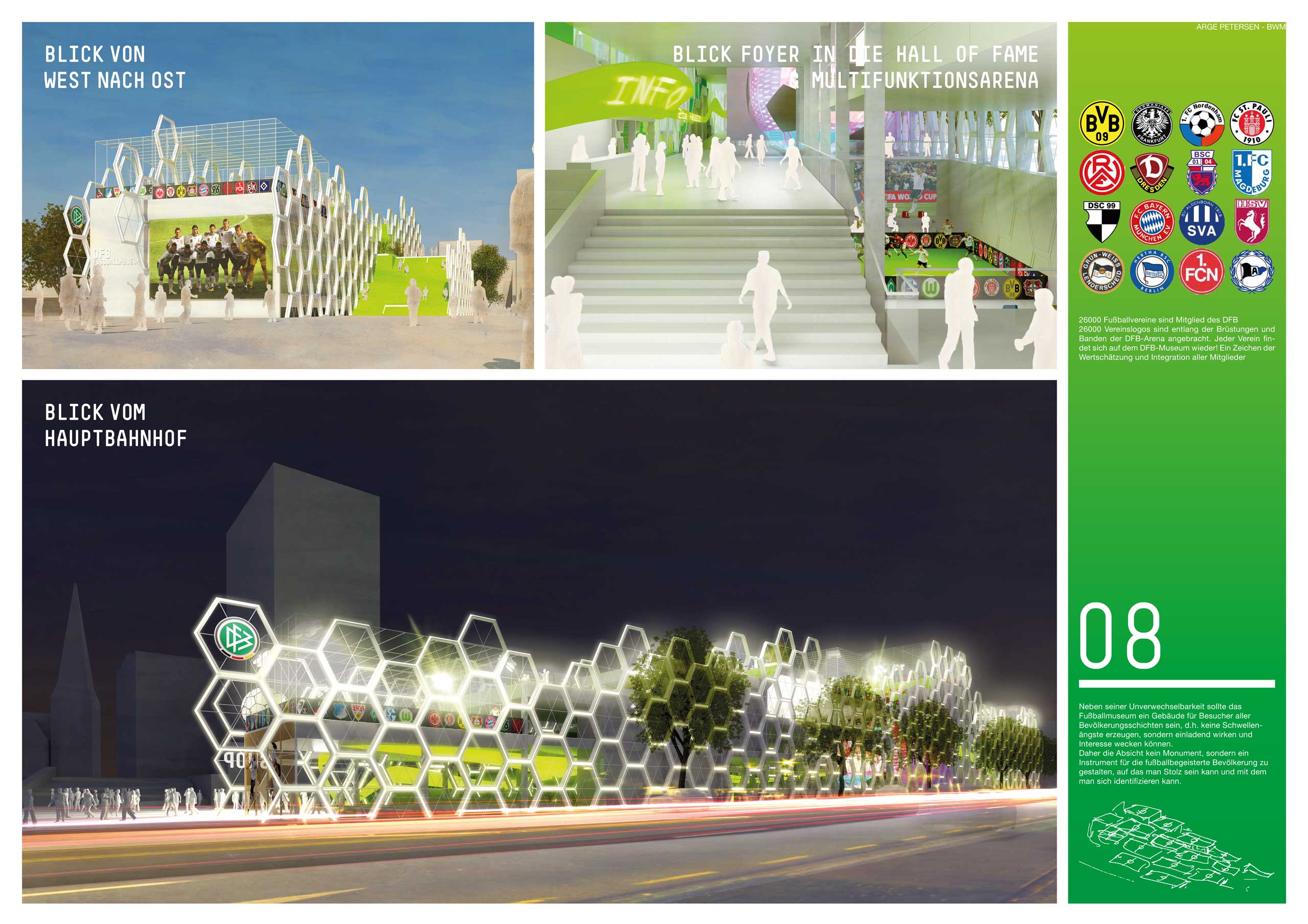
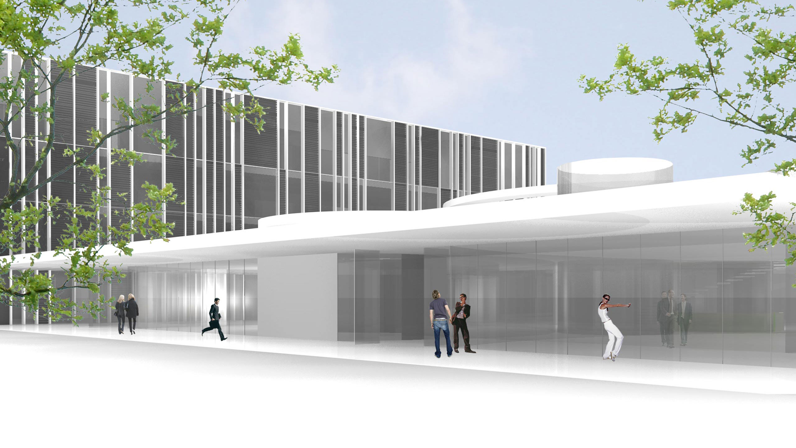
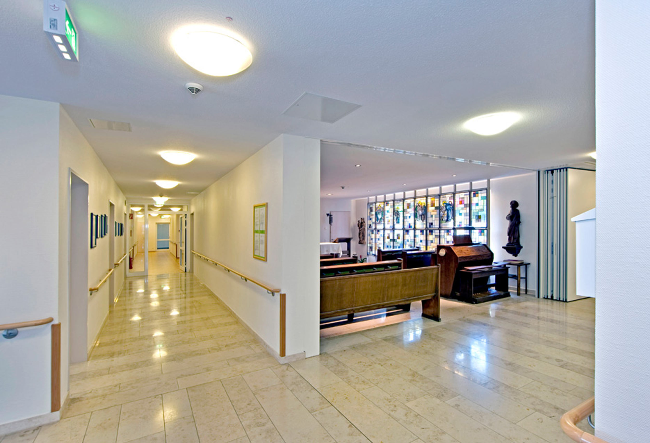
In addition to its distinctiveness, the football museum should be a building accessible to visitors from all walks of life, meaning it should not create barriers but rather be welcoming and spark interest.
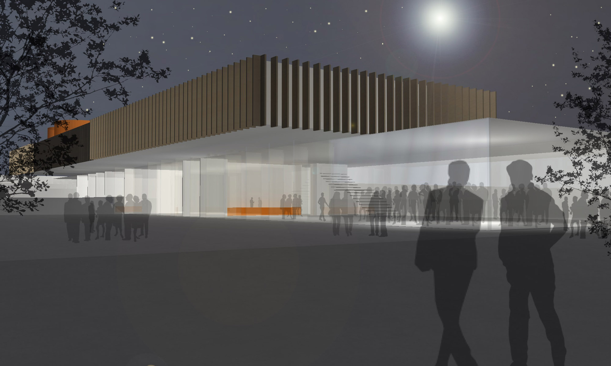
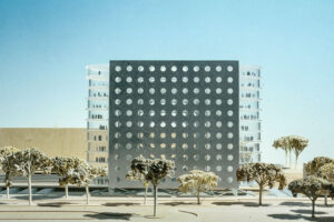
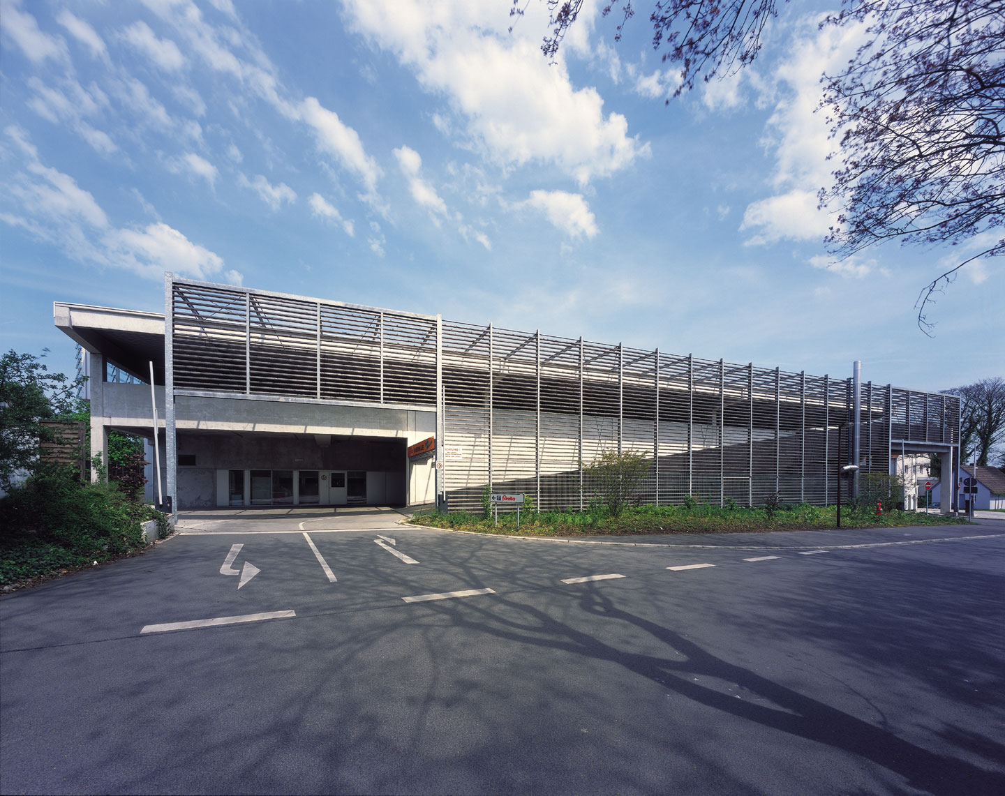
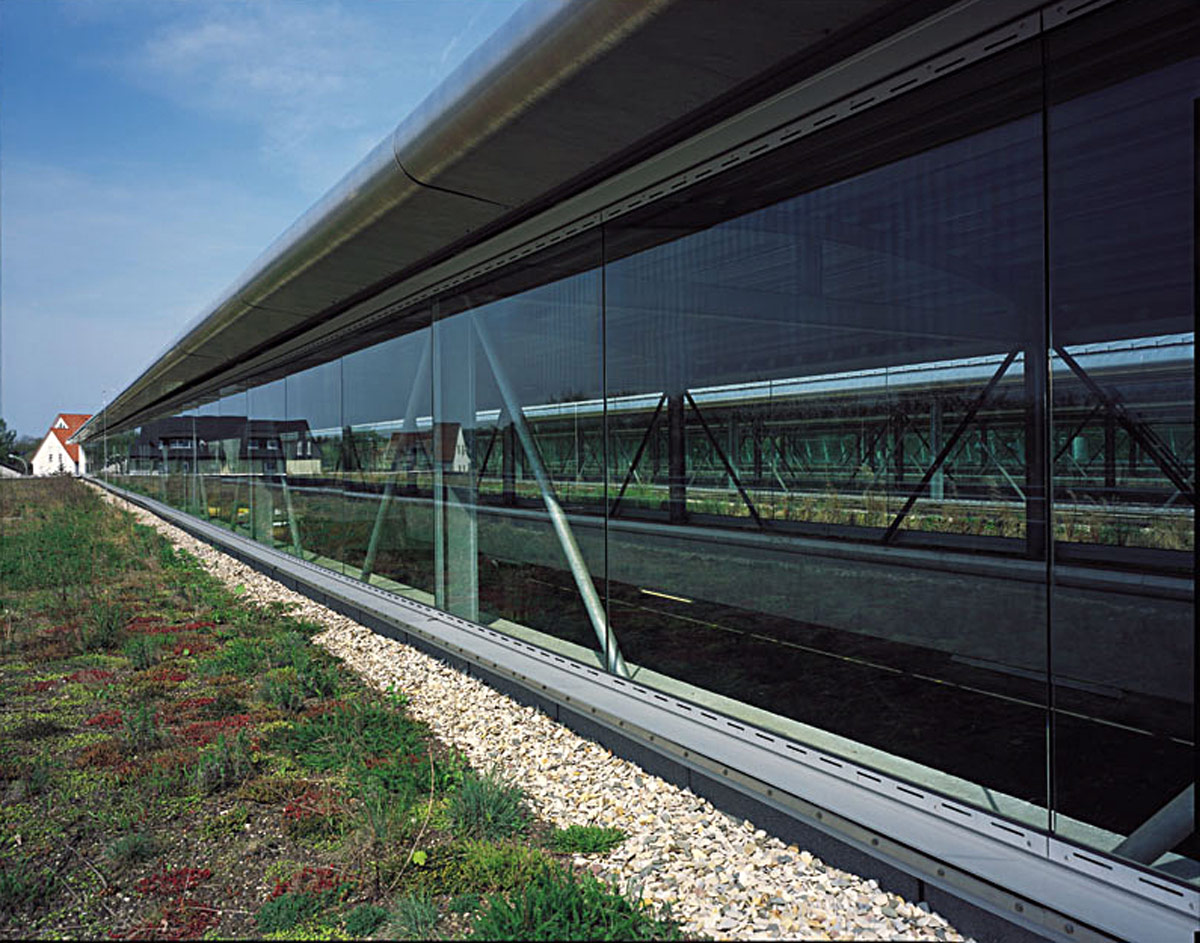
Thus, the intention is not to create a monument, but rather an instrument for football enthusiasts that they can be proud of and with which they can identify. The façade is an abstraction of the goal net, a lattice façade with a load-bearing function.
Award
1.Prize
Competition
Data
Competition
2011
Address
Platz der Deutschen Einheit 1
44137 Dortmund
Germany
Awarding Authority
City of Dortmund
Partner
BWM Architektur & Design interdisziplinäre GmbH mit ZT:
Markus Kaplan
Johann Moser